Download
1 / 22
220 likes | 380 Vues
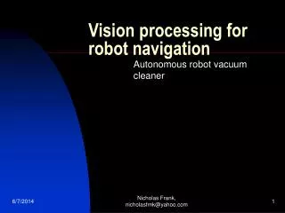
The Wayfarer Modular Navigation Payload for Intelligent Robot Infrastructure. Brian Yamauchi yamauchi@irobot.com. Autonomous Urban Recon. Critical Army need Daily casualties during patrols Hazards Snipers Improvised explosive devices RPGs Teleop is not enough Limited comms range

E N D
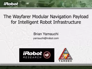
The Wayfarer Modular Navigation Payload for Intelligent Robot Infrastructure Brian Yamauchi yamauchi@irobot.com
Autonomous Urban Recon • Critical Army need • Daily casualties during patrols • Hazards • Snipers • Improvised explosive devices • RPGs • Teleop is not enough • Limited comms range • Line-of-sight restrictions • Limited bandwidth
Modular Navigation Infrastructure PackBot ► FCS SUGV ▼ Wayfarer Modular Navigation Payload ◄ R-Gator
Wayfarer Objectives • Focused, applied research project • Develop technology to enable small UGVs to perform autonomous recon missions • Enable small UGVs to: • Navigate autonomously down urban streets • Record digital video (EO/IR) and build map • Return autonomously to starting point • Provide video log and map to warfighters
Urban Reconnaissance Missions • Perimeter Recon • Follow outside wall of building • Route Recon • Follow current street for specified distance • Street Recon • Follow GPS waypoints and street directions • Record EO/IR video and build map • Return to starting point
Wayfarer Sensors • SICK LD OEM 360-degree planar LADAR • Point Grey Bumblebee stereo vision system • Organic GPS receiver • Crossbow six-axis IMU • Color and low-light B/W video cameras • Indigo Omega FLIR camera • Swiss Ranger 3D flash LADAR
Scaled Vector Field Histogram (SVFH) • Extension of Borenstein & Koren’s Vector Field Histogram (VFH) obstacle avoidance • VFH: Map each range reading from sensors to corresponding polar coordinate sector • SVFH: Spread each reading to vote for all sectors within an arc length inversely proportional to range: q = k / r q: arc length (radians), k: constant (0.4), r: range (meters)
SVFH Hallway Example SVFH Bins Clear Vectors
SVFH Intersection Example SVFH Bins Clear Vectors
Perimeter Following • Detect and follow building walls • Hough Transform • Detects linear features in range data • Finds building walls and other street-aligned features (e.g. cars, curbs) • Collects votes to determine current wall heading • Integrated with obstacle avoidance
Hallway Wall Detection All Lines Best Line
Intersection Wall Detection All Lines Best Line
Outdoor Perimeter Detection Wall Tracking Landscape Tracking
Autonomous Mapping • Build occupancy grid map on robot • Transmit local region back to OCU to minimize bandwidth usage • Runs in parallel with navigation and avoidance • Robot can travel beyond communications range and return with a map • Can also run in background during teleoperation
Localization • Heading tracking using Hough transform • Track orientation of linear features • Use to estimate robot orientation • Alternative approaches • Scan matching • GPS/Compass/INS • Kalman filters • Particle filters (Monte Carlo SLAM)
Future Work • Outdoor testing of perimeter following • Street following • GPS-based street navigation
Conclusions • Wayfarer will provide autonomous urban navigation technology for man-portable UGVs • By September 2005, we will have two fully-operational Wayfarer UGV prototypes able to perform urban reconnaissance missions • Wayfarer navigation payload will provide intelligent navigation infrastructure for PackBots and R-Gators, as well as FCS SUGV and other UGVs