Geo Information Systems
Geo Information Systems. S. Schmidt IfG, Christian-Albrechts-Universität Kiel. The use of Geo Information Systems in Geophysical Modeling. Complex interpretation. ... requires intensive cognitive efforts. Conclusion:. Data have to be

Geo Information Systems
E N D
Presentation Transcript
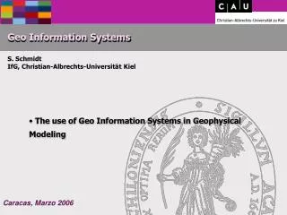
Geo Information Systems S. Schmidt IfG, Christian-Albrechts-Universität Kiel • The use of Geo Information Systems in Geophysical Modeling
Complex interpretation ... requires intensive cognitive efforts
Conclusion: Data have to be 1. easy to handle (e.g. provided in a graphical form), 2. categorized, 3. provided to the user in “small portions”, 4. independent from used interpretation tools.
Interoperable Software The problem...
Interoperable Software Example of a client / server GIS architecture
Interoperable Software To compare: WWW and CORBA
Interoperable Software Looking for standards Existing consorts: POSC OpenGIS
Interoperable Software Geological / Geophysical data model
Interoperable Software Flexible Geometry by triangulation
Interoperable Software Advanced visualization
Geological Modeling To merge geological maps with high resolution Topography Consistancy check
Geological Modeling Consistancy check
Construction of geological maps Kroll 2000 conventionel ... From a 3D model
Central Andes Integration of different information
Central Andes Geometry of Nazca Plate, location of hypocenters
Alternative solutions Southern Urals, PhD Thesis J. Döring, 1998