
References
E N D
Presentation Transcript
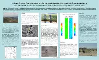
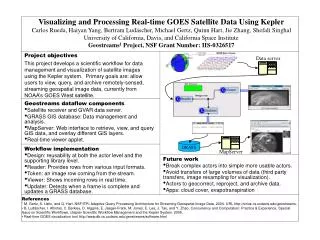
Data server GRASS MapServer Visualizing and Processing Real-time GOES Satellite Data Using Kepler Carlos Rueda, Haiyan Yang, Bertram Ludäscher, Michael Gertz, Quinn Hart, Jie Zhang, Shefali SinghalUniversity of California, Davis, and California Space Institute Geostreams1 Project, NSF Grant Number: IIS-0326517 Project objectives This project develops a scientific workflow for data management and visualization of satellite images using the Kepler system. Primary goals are: allow users to view, query, and archive remotely-sensed, streaming geospatial image data, currently from NOAA’s GOES West satellite. Image row Geostreams dataflow components • Satellite receiver and GVAR data server. • GRASS GIS database: Data management and analysis. • MapServer: Web interface to retrieve, view, and query GIS data, and overlay different GIS layers. • Real-time viewer applet. Workflow implementation • Design: reusability at both the actor level and the supporting library level. • Reader: Provides rows from various input formats. • Token: an image row coming from the stream. • Viewer: Shows incoming rows in real time. • Updater: Detects when a frame is complete and updates a GRASS database. Future work • Break complex actors into simple more usable actors. • Avoid transfers of large volumes of data (third party transfers, image resampling for visualization). • Actors to geocorrect, reproject, and archive data. • Apps: cloud cover, evapotranspiration References • 1 M. Gertz, S. Ustin, and Q. Hart. NSF/ITR: Adaptive Query Processing Architecture for Streaming Geospatial Image Data, 2004. URL http://sirius.cs.ucdavis.edu/geostreams. • B. Ludäscher, I. Altintas, C. Berkley, D. Higgins, E. Jaeger-Frank, M. Jones, E. Lee, J. Tao, and Y. Zhao. Concurrency and Computation: Practice & Experience, Special Issue on Scientific Workflows, chapter Scientific Workflow Management and the Kepler System. 2005. • Real-time GOES visualization tool http://www.db.cs.ucdavis.edu/geostreams/software.html