Download
1 / 27
290 likes | 666 Vues
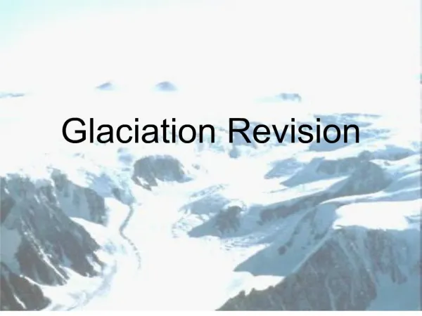
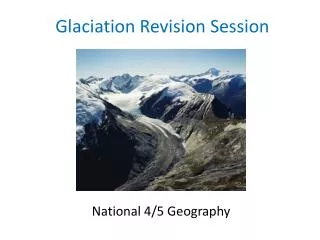
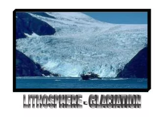
Glaciation Revision for you. Get your revision techniques ready!!!! Here we go……………………. Glacial features. Corries Aretes Pyramidical peaks Glaciated Troughs (U shaped Valleys) Truncated spurs Hanging Valleys Ribbon Lakes Morraine

E N D
Glaciation Revision for you. Get your revision techniques ready!!!! Here we go……………………
Glacial features • Corries • Aretes • Pyramidical peaks • Glaciated Troughs (U shaped Valleys) • Truncated spurs • Hanging Valleys • Ribbon Lakes • Morraine • Glacial processes include frost shattering, plucking and abrasion. • Frost Shattering is a type of WEATHERING. • Abrasion and plucking is a type of EROSION.
How is a corrie formed? Snow collects in a natural hollow on the side of a mountain. Over time, further snow collects in the hollow. This extra weight compresses the snow underneath, turning it into ice. rock lip This overdeepening leads to an ‘armchair’ shape characteristic of a corrie and causes a ‘rock lip’ to be formed. The hollow is deepened and widened by the corrie glacier through the processes of abrasion and plucking.
Remember a Tarn is a lake that fills the Corrie once the Ice has Melted. Steep Back wall Bowl Shape Corrie
Formation of a pyramidal peak Pyramidal peaks are formed when three or more corries cut backwards into the same mountain. arête The Ridge is the ARETE tarn corrie
How and why do these valleys differ? river valley glaciated valley Unlike a river, a glacier fills the entire valley and so has much more power to erode. It does not have to wind around interlocking spurs and can widen, deepen and straighten its valley.
Characteristics of a glacial trough What are the characteristics of a glacial trough? steep valley sides misfit stream hanging valley The river that flows through the valley after the ice age is described as a misfitstream. Between truncated spurs are hanging valleys which have not been eroded as deeply as the main valley. Have a look at Glacial Troughs: Hanging Valleys, Misfit steams, Truncated spurs Interlocking spurs are truncatedas the glacier cuts straight through the landscape. wide and flat valley floor truncated spurs
Nant Ffrancon Valley, Snowdonia What evidence is there to suggest that this valley has been shaped by ice? Produce an annotated sketch to show that this is a glaciated valley.
Unsorted, angular rocks make up this moraine found in the Porsmork Valley, SW Iceland. What is moraine? Moraine is a type of landform that is created when a glacier deposits the material (till) that it has been transporting. It is made up of unsorted angular rocks. There are several types of moraine: • Lateral • Medial • Ground • Recessional • Terminal
How are drumlins formed? Drumlins are formed of till. They are elongated features that can reach a kilometre or more in length, 500m or so in width and over 50m in height. There is still some debate about how drumlins are formed, but the most widely accepted idea is that they were formed when the ice became overloaded with sediment. It is common to find several drumlins grouped together. A collection of drumlins is called aswarm.
Have a look at Glacial Troughs: Hanging Valleys, Misfit steams, Truncated spurs. Glacial Trough, U shaped Valley as Contours are wide in Middle
Identifying glacial troughs Map of Snowdonia glacial troughs
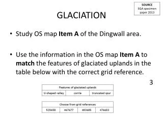
Examination question List three pieces of map evidence to show that this area was glaciated.
Key ideas • Corries, arêtes, pyramidal peaks and glacial troughs are created by glacial erosion. • Moraines, drumlins and erratics are the result of glacial deposition. • Moraine is a type of landform that is created when a glacier deposits the material (till) that it has been transporting. • There are five main types of moraine. • Contour patterns on maps can give a clear indication as to whether a landscape has been glaciated.
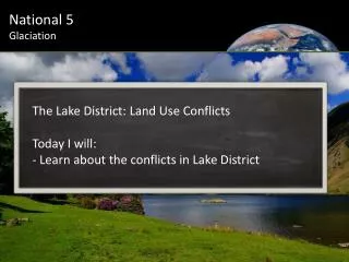
How do Humans use Glaciated Areas. USE NAnT Ffrancon Valley Snowdonia. • Reservoirs (The Lake District/Snowdonia) • Forestry (The Lake District/Snowdonia) • Ski Resorts (he Alps) • Recreation (The Alps, Lakes, Snowdonia) • Sheep Framing (The Lakes and Snowdonia) • Dairy Farming ( The Alps, think of Milka chocolate, daisy the cow- only done on the lower slopes and valley floor). • HEP power stations
Issues affecting Upland Glaciated areas. 1)A decline in Farming, due to restrictions in farming involving european policies such as CAP the common agriculutural Policy, meaning farmers can only produce so much of a certain product. Foot and mouth and BSE has put people off farming. 2) Rapid increase in tourism in places like Lake District and Snowdonia, huge increase in day trippers and second home owners= problems such as demand on environment and erosion.
How can Upland Glaciated areas be managed. • Ensuring cheap housing so locals stay in the area, instead of being out priced due to people rich city folk buying up property and forcing up land prices. • Funding farmers to diversify into other markets, e.g you saw this at Malham, farmers renting fields to campers. • Increasing the council tax on second homes from 50% to 90%. • Encouraging tourists and the National Trust to manage the area SUSTAINABLEY.
Examination question • Study the photograph of a glaciated landscape: • Explain two human uses of this landscape. • List two issues that are affecting upland glaciated landscapes. • For one of these issues explain how it can be managed.
Key ideas • Pastoral farming is traditionally the main land use in upland glaciated areas such as the Lake District and Snowdonia. • Other land uses include: water supply, energy production, forestry, transport and tourist facilities including skiing. • The main issues affecting upland glaciated areas are the decline in farming and the growth of tourism, including the growth of second home ownership. • The decline in farming and the growth of tourism has created a range of problems including rural depopulation. • Management schemes exist in order to help upland glaciated areas adapt to recent changes.