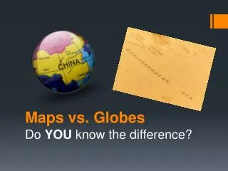
Maps vs. Globes
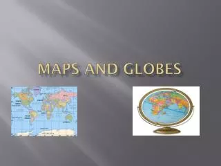
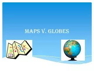
Maps vs. Globes. Do YOU know the difference?. The tools that geographers use the most often are MAPS and GLOBES. A map is FLAT drawing that shows all or part of the Earth’s surface. A globe is a SPHERICAL , or ball-shaped, model of the entire planet.

Maps vs. Globes
E N D
Presentation Transcript
Maps vs. Globes Do YOU know the difference?
The tools that geographers use the most often are MAPSand GLOBES. A map is FLAT drawing that shows all or part of the Earth’s surface. A globe is a SPHERICAL, or ball-shaped, model of the entire planet. Try it! Place the characteristics of maps and globes in the appropriate section of the Venn Diagram.
There are THREE types of maps • POLITICAL MAPS: Show major political features of a region. • Country Borders • Capital Cities STAR symbol • Use different colors to show countries
There are THREE types of maps 2. PHYSICAL MAPS: Show major physical features of a region. • Mountain ranges • Rivers • Oceans • Islands • Deserts • Plains • Shows different elevations
There are THREE types of Maps 3. SPECIAL-PURPOSE MAPS: Focus on one special topic • Topics can include: • Climate, resources, or population • Information may be shown with colors, arrows, dots or other symbols
FIVE PARTS OF A MAP • TITLE: shows what the subject of the map is • COMPASS ROSE: indicates north, south, east and west • SCALE: represent distances between points on a map • LEGEND: or KEY explains what symbols represent • LOCATOR MAP: shows where in the world the area on the map is located
Prime Meridian: an imaginary line that runs North to South on the globe and represents ZERO degrees longitude. Prime Meridian VS. Equator Equator: an imaginary line that circles the globe halfway between the North and South Poles and represents ZERO degrees latitude.
Video – Using Maps & Globes • http://app.discoveryeducation.com/player/view/assetGuid/DBC75ABD-4435-4CC4-AE36-1C662869F6BC