Download
1 / 8
Télécharger la présentation 
Topographic Maps and Contour Lines
An Image/Link below is provided (as is) to download presentation
Download Policy: Content on the Website is provided to you AS IS for your information and personal use and may not be sold / licensed / shared on other websites without getting consent from its author.
Content is provided to you AS IS for your information and personal use only.
Download presentation by click this link.
While downloading, if for some reason you are not able to download a presentation, the publisher may have deleted the file from their server.
During download, if you can't get a presentation, the file might be deleted by the publisher.
E N D
Presentation Transcript
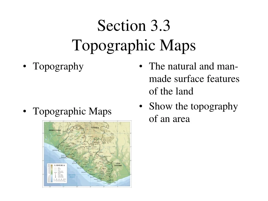
Topography Topographic Maps The natural and man-made surface features of the land Show the topography of an area Section 3.3Topographic Maps
Contour Lines Narrow lines (brown) that indicate the elevation above sea level
Contour interval The change in elevation between two consecutive contour lines
Slope The steepness of the landscape
Gentle sloping hill Steep hill Contour lines are farther apart Contour lines are closer together
Depression contour lines Show craters or volcanoes
Rivers The contour lines curve and point toward the source or the starting point of the river


More Related