Download
1 / 30
300 likes | 602 Vues
United States in Spatial Terms Where is the United States Located? Unit 2 Lesson 1. Content Expectations 4 - G1.0.2: Use cardinal and intermediate directions to describe the relative location of significant places in the United States.

E N D
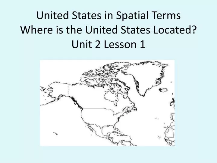
United States in Spatial TermsWhere is the United States Located?Unit 2 Lesson 1
Content Expectations 4 - G1.0.2: Use cardinal and intermediate directions to describe the relative location of significant places in the United States. 4 - G1.0.3: Identify and describe the characteristics and purposes (e.g., measure distance, determine relative location, classify a region) of a variety of geographic tools and technologies (e.g., globe, map, satellite image). Integrated GLCE’s W.PR.04.02: Apply a variety of pre-writing strategies for both narrative and informational writing (e.g., graphic organizers such as maps, webs, Venn diagrams) in order to generate, sequence, and structure ideas (e.g., plot, setting, conflicts/resolutions, definition/description, or chronological sequence).
Think like a Geographer What questions might a geographer might ask about the United States? M ovement R egions H uman/ E nvironment Interaction L ocation P lace
Label the United States, Canada, and Mexico. Describe the relative location of the United States using political boundaries.
location the geographic theme that answers the question “Where is it?” Example: Maps can be used to find out the location of a place. relative location where a place is located in relation to other places Example: The United Stated is located north of the country of Mexico.
Possible answers include: • The United States borders Mexico and Canada. • The United States is located mostly north of Mexico. • The United States is located mostly south of Canada. • The United States is located between Canada and Mexico.
continent one of the seven large landmasses of the Earth Example: The United States is part of the continent of North America .
hemisphere a region created when the Earth is divided in half Example: The Earth can be divided into the Western Hemisphere and the Eastern Hemisphere. It can also be divided into the Northern Hemisphere and the Southern Hemisphere. • The Northern Hemisphere The Western Hémisphère
Look at map of globe in social studies book. Make inferences about the Northern Hemisphere and Southern Hemispheres. (What do you notice?)
• More countries are in the Northern hemisphere than the Southern hemisphere. • The North Pole is in the Northern hemisphere and the South Pole is in the Southern hemisphere. • All of North America is in the Northern hemisphere. • Most of South America is in the Southern hemisphere. • There are some countries that are partly in the Northern hemisphere and partly in the Southern hemisphere.
Prime Meridian an imaginary line that divides the Earth into Western and Eastern Hemispheres Example: The United States is located west of the Prime Meridian
Describe the relative location of the United States using the Prime Meridian and the concept of hemisphere. Example: The United States is located west of the Prime Meridian
Using the globe or map of “The Western Hemisphere,” make inferences about the Western Hemisphere and Eastern Hemispheres. What do you notice?
Possible answers include: • Fewer countries are in the Western Hemisphere than the Eastern Hemisphere. • All of North America is in the Western Hemisphere. • A section of the western part of Africa is in the Western Hemisphere. • All of Asia is in the Eastern Hemisphere.
We use imaginary lines called longitude and latitude to find absolute location.
Graphic Organizer Where is the United States located? Continent Hemisphere North America Equator Prime Meridian Political Boundaries Northern Hemisphere Western Hemisphere Mostly South of Canada Mostly North of Mexico
Describing the Relative Location of the United States – Sample Answers
References Egbo, Carol. Supplemental Materials (Unit 2, Lesson 1). Teacher-made material. Michigan Citizenship Collaborative, 2008. The Northern Hemisphere. Wikimedia Commons. 7 October 2008 <http://commons.wikimedia.org/wiki/Image:Northern_Hemisphere_LamAz.png>. Outline Map of North America. About.com. 7 October 2008 <http://geography.about.com/library/blank/namerica.jpg>. The Western Hemisphere. Wikimedia Commons. 7 October 2008 <http://commons.wikimedia.org/wiki/Image:Western_Hemisphere_LamAz.png>.