Download

1 / 14
140 likes | 259 Vues
This outline presents a senior design project focused on developing a handheld navigation device for hikers that operates without a GPS signal. Traditional navigation methods like compass and map, along with handheld GPS devices, have significant limitations that can lead to hikers getting lost. Our solution utilizes inertial navigation techniques, leveraging sensors such as accelerometers and gyroscopes. The project highlights market feasibility and design norms, indicates major achievements, current status, and next steps toward producing a reliable and effective device for outdoor enthusiasts.

E N D
Team 10 - SHERPA December 4, 2009 Calvin College ENGR 339 Senior Design
Outline • The Team • Problem & Solution Recap • Feasibility • Design Norms • Resources • Major Achievements • Current Status • Next Steps • Questions
Problem • Two main methods for hiker navigation: • Compass & Map • Handheld GPS • Both of these have their limitations • There are few devices which successfully overcome these limitations • Individuals get lost
Solution • A handheld navigation device that does not require a GPS signal to determine position • Use inertial navigation techniques • The user will not become lost Sensors Memory Accelerometer Processor GPS Receiver Gyroscope LCD UI
Feasibility: The Market • Average of 1.7 million “backcountry campers” in US National Parks every year over the last 5 years.1 • “More than 20% of the 93 million Americans who participate in hiking, backpacking, mountain climbing, and camping are enthusiasts who participate frequently.”2 • Over 3.7 million personal navigation units sold in Q2 2008 in the United States3 • http://www.nature.nps.gov/stats/viewReport.cfm?selectedReport=SystemMultiReport.cfm • http://www.activemarketinggroup.com • http://www.canalys.com/pr/2008/r2008081.htm
Feasibility: The Design • Patent Research: Honeywell • Competition: American GNC’s Palm Navigator series • Sensor advancements geared toward consumer electronics
Design Norms • Transparency • Report critical information to the user • Acknowledge limits of the design • Trust • Be reliable and accurate enough to be trusted • Caring • Save lives by preventing individuals from getting lost • Cultural Appropriateness • Appeal to outdoor enthusiasts
Resources • Project from ENGR 315 - Control Systems • Project from ENGR 325 - Computer Architecture • DornerWorks • Component Suppliers • Mr. Ryan Rooks - HPERDS department • Mr. Tim Theriault - GE Aviation
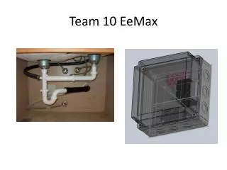
Major Achievements • Electronic component selection • Obtained evaluation board • Obtained accelerometers and gyroscopes • PPFS rough draft • Constructed a platform for data acquisition
Data Acquisition Platform • Digitally communicate between the microcontroller and accelerometers • Microcontroller stores the data • Transfer data to a PC for algorithm testing and development
Current Status • Further development of data acquisition platform • Build the algorithms for filtering the noisy data from the sensors • PPFS Revisions
The Next Steps • Add gyroscopes into the data acquisition platform • Printed circuit board layout • Purchase components • Develop the algorithms to convert sensor readings to positions accurately