Download
1 / 24
240 likes | 414 Vues
Geo-Enabled Government & Society in the Kingdom of Bahrain. Dr. Mohammed Al Amer President, Central Informatics Organization (CIO). About Kingdom of Bahrain. About CIO The Geospatial Beginning Role of CIO in Geo-Enabling Government & Society Bahrain Spatial Data Infrastructure (BSDI )

E N D
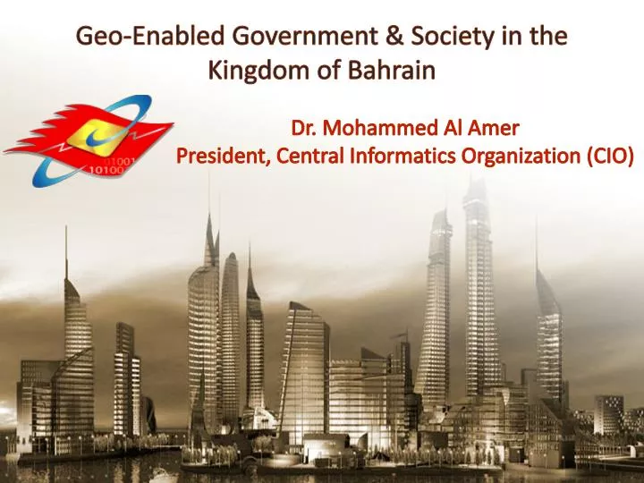
Geo-Enabled Government & Society in the Kingdom of Bahrain Dr. Mohammed Al Amer President, Central Informatics Organization (CIO)
About CIO • The Geospatial Beginning • Role of CIO in Geo-Enabling Government & Society • Bahrain Spatial Data Infrastructure (BSDI) • BSDI – Paradigm Shift • Supporting Bahrain Economic Vision 2030 • Case References • Way Forward Agenda 3
1 About CIO 2 Citizen BIRTH HEALTH EDUCATION SMART ID CARD GIS STATISTICS IT HOUSING WORK MARRIAGE INFORMATION اDATA KNOWLEDGE 3
About CIO • The Geospatial Beginning • Role of CIO in Geo-Enabling Government & Society • Bahrain Spatial Data Infrastructure (BSDI) • BSDI – Paradigm Shift • Supporting Bahrain Economic Vision 2030 • Case References • Way Forward Agenda 5
The Geospatial Beginning Dates back to early 80’s More than 42 government cells were individually using spatial information Agencies slowly started to migrate from tracing paper to digital maps Lack of integration and disparate electronization efforts ‘GIS Directorate, CIO Established in 2003’
About CIO • The Geospatial Beginning • Role of CIO in Geo-Enabling Government & Society • Bahrain Spatial Data Infrastructure (BSDI) • BSDI – Paradigm Shift • Supporting Bahrain Economic Vision 2030 • Case References • Way Forward Agenda
Administrative Boundaries • Building Polygons • Addresses • Street Centerlines • Point of Interests • Vegetation • Satellite Images (1) Geospatial Information (GI) 9
Bahrain Internet Exchange (BIX) Solutions The Royal Charity Organization General Organization for Youth & Sport (GOYS) National Way-leave System Intranet Applications – Provided through Govt. Data Network (GDN) 10
About CIO • The Geospatial Beginning • Role of GIS Directorate, CIO in Geo-Enabling Government & Society • Bahrain Spatial Data Infrastructure (BSDI) • BSDI – Paradigm Shift • Supporting Bahrain Economic Vision 2030 • Case References • Way Forward Agenda 11
Post Implementation Achievements: • Development of BSDI Portal in 2005 • Data Exchange Policy (established) • Data Standards (established) • Curtailing Data Duplication • Enterprise Licensing of Satellite Image (procured) • Capacity Building Bahrain Spatial Data Infrastructure – cont’d Geospatial Excellence Award on SDI, Map World, Hyderabad, India 2009 13
About CIO • The Geospatial Beginning • Role of GIS Directorate, CIO in Geo-Enabling Government & Society • Bahrain Spatial Data Infrastructure (BSDI) • BSDI – Paradigm Shift • Supporting Bahrain Economic Vision 2030 • Case References • Way Forward Agenda 14
About CIO • The Geospatial Beginning • Role of CIO in Geo-Enabling Government & Society • Bahrain Spatial Data Infrastructure (BSDI) • BSDI – Paradigm Shift • Supporting Bahrain Economic Vision 2030 • Case References • Way Forward Agenda 16
By developing Web GIS Applications for Government Ministries via Local Intranet • The Government Sector to Become more Productive and Accountable for Delivering Quality Services via Learner Organization 1 • By implementing the National Spatial Data Infrastructure (NSDI) 2 • To Develop World-class Infrastructure links Bahrain to Geospatial Sustainability Supporting Bahrain Economic Vision 2030 • By providing vital Geospatial Information Such as Maps, Points of Interest (POI) and Addresses via the Net 3 • Bahrain’s Residents Enjoy a Safe Attractive Living Environment Characterized by Benefits from Useful Data Realized by the Economy and Society by Large 17
About CIO • The Geospatial Beginning • Role of CIO in Geo-Enabling Government & Society • Bahrain Spatial Data Infrastructure (BSDI) • BSDI – Paradigm Shift • Supporting Bahrain Economic Vision 2030 • Case References • Way Forward Agenda 18
e-Health GIS Application (1 Award winning, 2009) • GIS application developed and deployed for the Ministry of Health (MoH) to support neo broad spectrum spatial Governance using Geospatial layers • GIS Application composed of reusable modules that can be utilized for development of e-Health and e-Medicine with: • Quick search tools – Health Facilities, Doctors, Patients, Ambulance, Blood Donors • Analysis tools • Decision-making tools via statistical information Geospatial Application for e-Health, Map Middle East, Abu Dhabi – UAE, 2009 19
Solution Functions: Map Navigation Utilizing Geospatial data effectively Location Finder Interactive maps Personalized searches Bahrain Locator – Geo-Enabling Society (2 Awardswinning, 2011) Bahrain Locator effectively used by Govt Organization, Private Sectors, Citizens & Residents to search for: Administrative Units Addresses Roads Point of Interest like Restaurants, Schools, Govt Offices, Landmarks, Shopping Malls etc.
A web based solution to create, search, comment, track, edit, print and approveWayLeaves • tremendous improvement to the WayLeave Approval Cycle by considerably decreasing the approval time and increasing the approval confidence • Strong integration with the ‘Bahrain Spatial Data Infrastructure (BSDI)’ Portal to access central GIS data repository E-WayLeave Clearance Operations System“Evolution Towards Utilities Stakeholders Modernization”(2 Awards winning, 2012) Best Electronic Project for e-Government sector, 2012, Bahrain International eGOv Forum, 2012
About CIO • The Geospatial Beginning • Role of CIO in Geo-Enabling Government & Society • Bahrain Spatial Data Infrastructure (BSDI) • BSDI – Paradigm Shift • Supporting Bahrain Economic Vision 2030 • Case References • Way Forward Agenda 22
Way Forward 23
Thank you 24