Download
1 / 10
110 likes | 348 Vues
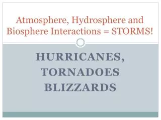
Atmosphere, Hydrosphere and Biosphere Interactions = STORMS!. Hurricanes, Tornadoes blizzards. Hurricanes are tropical cyclones that develop over large bodies of warm water and can grow to enormous proportions.

E N D
Atmosphere, Hydrosphere and Biosphere Interactions = STORMS! Hurricanes, Tornadoes blizzards
Hurricanes are tropical cyclones that develop over large bodies of warm water and can grow to enormous proportions. Fun fact: in Japan they are called Typhoons, in Australia they are nicknamed Willy-Willies. Diagram of Hurricane Formation
HURRICANES A large amount of thermal (heat) energy is stored up by the oceans over summer months. The air above this warm water is heated and rises in a convection current. Trade winds blow into the partial vacuum that is created when the air rises and spins. This causes water to be sucked upwards and the storm intensifies. Hurricanes move over large areas causing tremendous damage when they hit land where they will eventually fade out as they no longer have the heated air and water needed to sustain them.
Tornadoes are more localized in location compared to hurricanes, but they are also violent storms associated with high wind speeds and can come with heavy rain. Their enormous power is often confined to a narrow strip or band where they touch down on the ground. Diagram of a Tornado Formation
TORNADOES When a cold front moves through a warm, tropical air mass, wind shear can cause a tornado to spin out from the cloud cover. Tornadoes can move along the ground as fast as a car between 50 to 100 km/hr, with wind speeds up to 500km/hr. Unlike hurricanes, that can be tracked by satellite imagery, tornadoes can only be tracked on the ground because of all of the cloud cover above them. A sign of an impending tornado are funnel clouds.
Two conditions must be present in order for tornadoes to form:1) Hot, humid weather with strong convection currents forming cumulo-nimbus clouds 2) A cold front moving into the area creating wind shear. Cumulo-Nimbus and Funnel Clouds
BLIZZARDS Blizzards are severe winter storms that have the following characteristics: A temperature of -12°C or less A wind speed of 49 km/h or more Visibility of less than 1 km A duration of 3 hours or more Blizzards occur when the Jet Stream dips south in Canada causing cold, dry air to come into contact with moist, tropical air coming up from the Southern USA.
Blizzards are occurring with more regularity than in the past. This may be due to climate change as sea water off the Eastern coast of N. America is getting warmer, heating up maritime air masses. When they come into contact with cold, dry, northern air, turbulent weather follows. Blizzard Conditions
READING WEATHER MAPS Weather Maps include various weather station symbols to communication information about weather conditions. Identify what you think the following mean: