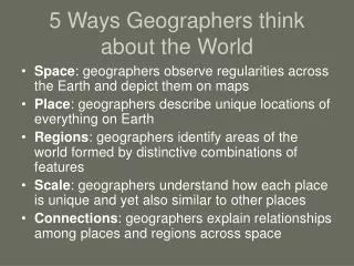
Chapter 1 How Geographers Look at the World
120 likes | 360 Vues
Chapter 1 How Geographers Look at the World. Section 1 Geography Skills Handbook. Globes and Maps

Chapter 1 How Geographers Look at the World
E N D
Presentation Transcript
Chapter 1How Geographers Look at the World Section 1 Geography Skills Handbook
Globes and Maps A globe is a scale model of the Earth. Because Earth is round, a globe presents the most accurate depiction of geographic information such as area, distance, and direction. However, globes show little close-up detail. A printed map is a symbolic representation of all or part of the planet. Unlike globes, maps can show small areas in great detail. Cartographer- A map maker who uses mathematical formulas to transfer information from the three-dimensional globe to the two-dimensional map.
Great Circle Routes To find the shortest distance between any two places on a globe, stretch a piece of string around a globe from one point to the other. The string will form part of a great circle, an imaginary line that follows the curve of the Earth. Ship captains and airline pilots use great circle routes to reduce travel time and conserve fuel. Projections To create maps, cartographers project the round Earth onto a flat surface- making a map projection. Distance, shape, direction, or size may be distorted by a projection. As a result, the purpose of the map usually dictates which projection is used. There are many kinds of map projections, some with general names and some named for the cartographers who developed them. Three basic categories of map projections are: planar, cylindrical, and conic.
Planar Projection- A planar projection shows the earth centered in such a way that a straight line coming from the center to any other point represents the shortest distance. It is often used for maps of the poles. Cylindrical Projection- Based on the projection of the globe onto a cylinder. This projection is most accurate near the Equator, but shapes and distances are distorted near the poles.
Conic Projection- A conic projection comes from placing a cone over part of a globe. Conic projections are best suited for sowing limited east-west areas that are not too far from the Equator. For these uses, a conic projection can indicate distances and directions fairly accurately.
Common Map Projections • Refer to page 7 in Geography text to compare and contrast the following: • WinkelTripel Projection • Goode’s Interrupted Equal-Area Projection • Robinson Projection • Mercator Projection • Determining Location • A location can be found on globes and maps using lines that cross one another forming a pattern called a grid system. • A hemisphere is one of the halves into which the Earth is divided. Geographers divide the Earth into hemispheres to help them classify and describe places on Earth. Most places are located in two of the four hemispheres.
Latitude- Lines of latitude or parallels, circle the Earth parallel to the Equator and measure the distance north or south of the Equator in degrees. The Equator is measured at zero degrees latitude, while the poles lie at latitudes ninety degrees north and ninety degrees south. Longitude- Lines of longitude, or meridians, circle the Earth from Pole to Pole. These lines measure distance east or west of the Prime Meridian at zero degrees. The one-hundred and eighty degree meridian on the opposite side of the Earth is called the International Date Line. The Globe Grid- Every place has a global address, or absolute location. You can identify the absolute location of a place by naming the latitude and longitude line that cross exactly at that place. Refer to pages 9-15 for more information on maps.