Download

1 / 16
160 likes | 209 Vues
Automating Quicklook Products for Emergent Events using Python. La Plata, MD | Virginia | South Carolina | Washington, DC. Overview. Background Reason for Development MXD Staging Python Script ArcGIS Tool. Department of Homeland Security

E N D
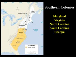
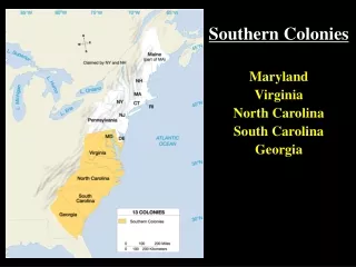
Automating Quicklook Products for Emergent Events using Python La Plata, MD | Virginia | South Carolina | Washington, DC
Overview • Background • Reason for Development • MXD Staging • Python Script • ArcGIS Tool
Department of Homeland Security • National Protective Programs Directorate (NPPD) • Office of Infrastructure Protection (IP) • Project Description: • Provide geospatial support for the protection of our nation’s critical infrastructure • Highlights: • Cartographic products range in size from Quick Turn individual maps to multi-page map books • Many products are repetitive and are requested many times during an event or project • Annual events such as College Bowl Games, Marathons, etc. • Daily Update Briefs during an ongoing project
Quicklook Background • Snapshot of Developing Situation: • Relatively simple map! • Depicts incident location and nearby assets • What it’s for: • Used to brief leadership who alert nearby infrastructure stakeholders • As soon as a QL is requested, it’s needed ASAP
Reason for Development • To quickly produce static cartographic products: • Primarily for leadership to get a quick idea of the incident/surrounding areas • Grew out of a need to produce a pleasing product in less than 20 minutes • To take the “Template” one step further: • Frees up the Geospatial Analyst to add more “interesting” additional things to the product, rather than focus on mundane repeatable tasks
“Real Reason” • I was interested: • Literally a self-imposed opportunity to learn on the job • Wanted to expand upon my python knowledge • I wanted to save time • Tired of doing it “by hand” every time: • All maps formatted the exact same way • Felt above some of the simple things we needed to do each time • Point creation • Buffer • Pan/Zoom
MXD Staging • Really Useful & Important: • Dynamically Updating Date/Time based upon OS time • Has an auto-generating legend based upon what layers are on/in extent
MXD Staging • Really Useful & Important: • Contains “dummy” layers that have all symbology/labeling properties • Title, Location, and Distance text boxes all dynamically updated from script
Python Script • A few things it does: • Prompts the user to define the workspace • Creates folders inside that workspace • Gets lat/long from user and generates a point based upon it
Python Script • Runs Buffer Tool • Swaps out data sources for layers in TOC • Pan/Zoom Main Data Frame to One Mile Buffer Extent • Reprojects the Main Data Frame to correct UTM Zone
Python Script • Calculates distance/direction to nearest asset • Turns on and off layers in the TOC • Passes title and location info from user • Saves the new map document into the user defined workspace • Launches ArcMap
ArcGIS Tool • User Friendly: • Users input parameters to set values of the variables in the python script • Contains descriptions/help for each parameter so the user knows what to input • Once the tool runs, it automatically launches the newly generated map for additional editing
ArcGIS Tool • User Interaction: • Tool outputs messages to show user which processes it’s running
Questions? Useful Links: Blog Post - http://zekiah.com/index.php?q=blog/2014/04/04/automating-quicklook-map-products-emergent-events Contact Info: Christian Zumstein czumstein@zekiah.com 301-325-2237