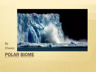
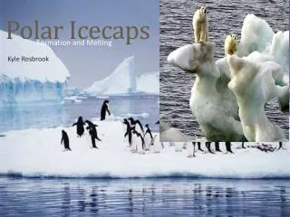
Polar Icecaps
Dive into the formation and melting of polar ice caps with core samples and ice sheets. Learn how high-latitude regions receive less solar energy, leading to the creation and changes of ice caps over time. Explore the Arctic and Antarctic ice sheets and their immense impact on our planet's climate.

Polar Icecaps
E N D
Presentation Transcript
Kyle Rosbrook Polar Icecaps Formation and Melting
Vocabulary • Core sample - cylindrical section of a naturally-occurring substance consistent enough to hold a layered structure • Ice sheets – a sheet of ice covering at least 50,00 square kilometers. • Polar Region – earths polar regions are located at each poles, north and south. They can also be called the Frigid Zones.
Experiment/ Demonstration How can we explore how the icecaps are formed? • Researchers who study the ice caps use hollow drills to extract large ice cores. These cores can tell us all about the formation over time of icecaps. You are now the explorer, lets see what we can find out.
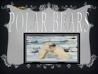
What have we learned? How to Polar Ice Caps form? Polar ice caps form because high-latitude regions receive less energy in the form of solar radiation from the sun than equatorial regions. This results in lower surface temperatures. Seasonal variations of the ice caps will take place due to varied solar energy absorption as the planet or moon revolves around the sun. Additionally, in geologic time scale, the ice caps may grow or shrink due to climate variation. • Recent studies have shown that icecaps were created about 35 million years ago
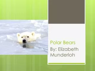
The Arctic • The artic ice sheet covers about 9-12 million square kilometers and is about 3-4 meters thick, however some places can be much higher. • The artic ice shelf is not attached to land, but rather a floating mass
The Antarctic • The land mass of the Earth's south pole, in Antarctica, is covered by the Antarctic ice sheet. It covers an area of almost 14 million km² and contains 30 million km³ of ice. Around 90% of the fresh water on the Earth's surface is held in this ice sheet. In addition, the West Antarctic Ice Sheet covers 3.2 million km² and the Ross Ice Shelf covers 0.5 million km². • The Antarctic is its own continent, this is because it is a land mas covered in ice, not floating like the artic