

SlideServe
Menu
Préférences
© SlideServe · v2026

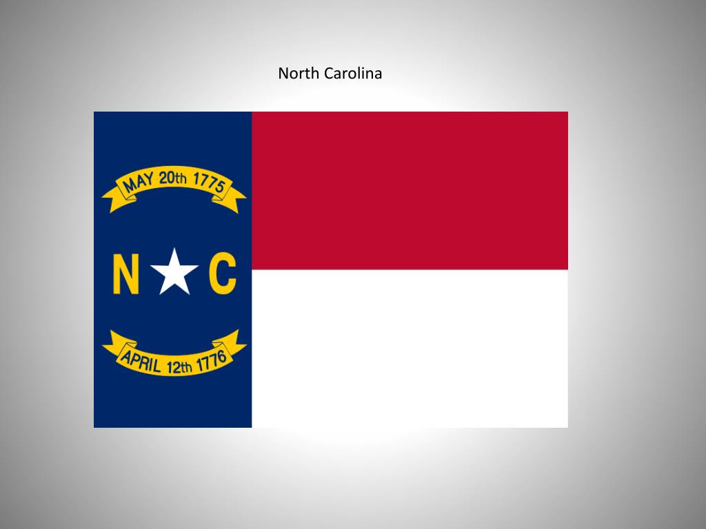
North Carolina

mio avatar
11 diapositives · 539 Views · Jul 27, 2014

North Carolina. Three Regions of North Carolina. Coastal Plains. A . vegetation—sandy soil, tobacco, cotton, soybeans, peanuts and other “truck crops” B. economics—mainly focused on agriculture , tourism, fishing C. land forms— barrier islands (Outer Banks) , capes, swamp, salt marshes
North Carolina - slide 1
01 / 11North Carolina
1 / 17

Télécharger la présentation

North Carolina
Une image / un lien ci-dessous est fourni (tel quel) pour télécharger la présentation

Politique de téléchargement : le contenu du site vous est fourni TEL QUEL pour votre information et votre usage personnel ; il ne peut être vendu, concédé sous licence ni partagé sur d’autres sites sans l’accord de son auteur.Le contenu vous est fourni TEL QUEL, pour votre information et votre usage personnel uniquement. Téléchargez la présentation en cliquant sur ce lien. Lors du téléchargement, si vous ne parvenez pas à télécharger une présentation, l’éditeur a peut-être supprimé le fichier de son serveur.Pendant le téléchargement, si vous ne parvenez pas à obtenir une présentation, le fichier a peut-être été supprimé par l’éditeur.

F I N

Plus de contenu associé

Transcription de la présentation
  1. North Carolina

  2. Three Regions of North Carolina

  3. Coastal Plains • A. vegetation—sandy soil, tobacco, cotton, soybeans, peanuts and other “truck crops” • B. economics—mainly focused on agriculture, tourism, fishing • C. land forms—barrier islands (Outer Banks), capes, swamp, salt marshes • D. natural resources—all natural lakes, fish, trees • E. population density—2nd largest populated region • F. location—eastern part of state; Atlantic Ocean to Fall Line • G. waterways-- all natural lakes, Cape Fear River (only river to flow directly into ocean; rest flow into sounds or other states), sounds (5), ocean • H. major cities—Wilmington, Greenville, New Bern, Fayetteville (Fort Bragg—largest army base on east coast; *all of NC’s military bases are in CP) • I. Other notes: mildest climate; first explored and colonized; divided into • 2. subregions—Tidewater and Inner Coastal Plain

  4. Piedmont • A. vegetation—red clay soil (bricks), tobacco, corn • B. economics—banking, Big 3—textiles, furniture, tobacco (RJR), Health Care and Medical Industry • C. land forms—rolling hills, forests, man-made lakes (most for hydro-electric power) • D. natural resources—lumber, livestock, fresh water • E. population density—most urban and populated region • F. location—center of state; Fall Line to Mountains • G. waterways—lakes and rivers • H. major cities—Raleigh (capital), Charlotte (largest), Greensboro, Durham, Winston-Salem • I. Other notes: Great Wagon Road brought settlers to this region

  5. Mountains • A. vegetation—rocky soil, burley tobacco, apples • B. economics—Christmas trees, tourism, lumber • C. land forms—mountains, forests • D. natural resources—minerals, stone (granite, quartz) • E. population density—least populated area • F. location—westernmost part of the state (between Piedmont & Tennessee) • G. waterways—rivers, streams, waterfalls, some lakes (man-made) • H. major cities—Asheville, Boone • I. Other notes—most snow (skiing); Cherokee Indian Reservation