
SlideServe
Menu
Préférences
© SlideServe · v2026

Combining Population and Environmental Data

misty avatar
15 diapositives · 351 Views · Sep 14, 2014

Combining Population and Environmental Data A Typology Approach based on Patterns and its Generative Processes Building up Trajectories of Patterns of Land Cover Change.
Combining Population and Environmental Data - slide 1
01 / 15Combining Population and Environmental Data
1 / 17

Télécharger la présentation

Combining Population and Environmental Data
Une image / un lien ci-dessous est fourni (tel quel) pour télécharger la présentation

Politique de téléchargement : le contenu du site vous est fourni TEL QUEL pour votre information et votre usage personnel ; il ne peut être vendu, concédé sous licence ni partagé sur d’autres sites sans l’accord de son auteur.Le contenu vous est fourni TEL QUEL, pour votre information et votre usage personnel uniquement. Téléchargez la présentation en cliquant sur ce lien. Lors du téléchargement, si vous ne parvenez pas à télécharger une présentation, l’éditeur a peut-être supprimé le fichier de son serveur.Pendant le téléchargement, si vous ne parvenez pas à obtenir une présentation, le fichier a peut-être été supprimé par l’éditeur.

F I N

Plus de contenu associé

Transcription de la présentation
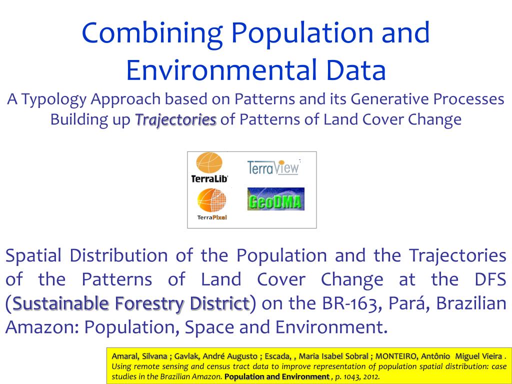
  1. Combining Population and Environmental Data A Typology Approach based on Patterns and its Generative Processes Building up Trajectories of Patterns of Land Cover Change Spatial Distribution of the Population and the Trajectories of the Patterns of Land Cover Change at the DFS (Sustainable Forestry District) on the BR-163, Pará, Brazilian Amazon: Population, Space and Environment. Amaral, Silvana ; Gavlak, André Augusto ; Escada, , Maria Isabel Sobral ; MONTEIRO, Antônio Miguel Vieira . Using remote sensing and census tract data to improve representation of population spatial distribution: case studies in the Brazilian Amazon. Population and Environment , p. 1043, 2012.

  2. Distrito Florestal Sustentável da BR-163 (DFS)

  3. Spatial Distribution of the Population Representação esquemática do procedimento para redistribuição da população nos setores censitários. Population Counts distributed over cells Dasymetric Method Variation1 General procedure to disaggregate population counts within census tracts. Source: Adapted from Amaral (2005) Census Tracts Redistribution 1Origins: J. Kirtland Wright, Problems in Population Mapping, in Notes on Statistical Mapping, with Reference to the Mapping of Population Phenomena. Mimeographed Publication no. 1, ed. J. K. Wright. New York: AGS and Population Association of America, pp. 1–18, 1938 Based on the works of Benjamin Semenov-Tian-Shansky from 1911 til the 20’s. Adjacent Surface Modeling

  4. 2000

  5. 2007

  6. Resultados 5% is the Averaged Difference between the Interpolated Population value, e the value collected during the Field work.

  7. Cell Sex Ratio ‘Estimated’

  8. Typologyof Patterns of Land Cover Process – Frontier Stage Characterisation Pattern Type Description Mapping the Stages of the Occupation Frontier in the DFS/BR-163through Spatial Patterns of Land Cover PRODES / Years 1997 – 2000 – 2003 - 2007

  9. Patterns and Process : Spatial Data Mining http://www.dpi.inpe.br/geodma/ Korting et al, 2007 GeoDMA – Geographical Data Mining Analyst

  10. Attribute Extraction and Landscape Metrics

  11. RESULTS Occupation Patterns - 1997

  12. RESULTS Occupation Patterns - 2000

  13. RESULTS Occupation Patterns-2003

  14. RESULTS Occupation Patterns- 2007

  15. RESULTS Change Trajectories Without Changes Occupation Trajectories