Download

1 / 34
370 likes | 454 Vues
Learn how to interpret contour lines on topographic maps and profiles to understand elevation, features, and water flow patterns. Practice exercises included.

E N D
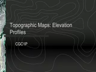
TOPOGRAPHIC MAPS AND TOPOGRAPHIC PROFILES Nick D’Anna HHS 2007 Adapted from R. DeMarco
CLOSER CONTOUR LINES = STEEPER GRADIENT TOPOGRAPHIC MAPS WOULD BE VERY CLUTTERED IF ALL CONTOUR LINES WERE LABELED, SO ONLY HEAVIER LINES SHOW LABELS
What is the pattern of the contour lines around a simple hill? Concentric circles getting smaller - hill
Hachure contour lines (lines with tick marks) show depressions – the first hachure is equal to the last regular contour line passed nearest 20 20 10
WHAT DOES THIS PROFILE SHOW? VOLCANO NOTICE HACHURE DEPRESSION LINES IN CENTER SHOWING VOLCANIC VENT
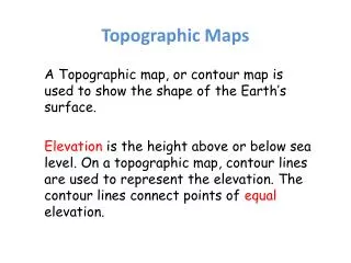
TOPOGRAPHIC PROFILES • TOPOGRAPHIC MAPS SHOW THE ELEVATION OR VERTICAL DISTANCE ABOVE SEA LEVEL OF THE SURFACE OF THE EARTH • TOPOGRAPHIC PROFILE IS A SIDE VIEW OF AN AREA.
So, if we were to look at a profile view of line AB on our topographic map, what might we expect to see? Predictions? Time to FIND OUT! Step 2
Next, decide what the HIGHEST and LOWEST elevation values are that line AB crosses on your topographic map and create a scale. You may wish to increase your scale by the contour interval on the map to make things easier. In this case, we are going up by 10’s, because our contour interval on the map is 10 meters.
This is what you might expect the “profile” or cross section view of line AB to look like! Notice how the line dips below 250m where it crosses Long Creek
Does it make sense? SURE! There is a creek flowing through this region. Think about where it would flow on your profile. We also recognize the V shaped contour lines that indicate the direction of water flow.
The contour lines point up the page (orange), but Long Creek flows down the page.
Contour lines point upstream. Stream flows from high elevation to low elevation. So a stream flows in the oppostite direction the contours point.
CONTOUR LINES BEND WHEN CROSS STREAMS UPSIDE DOWN V’S POINT UPSTREAM STREAMS FLOW DOWN
Or… if you are lucky enough to be able to do your profile on the same page as the topographic map… You can use the: “Drop down a dotted line” method! Example