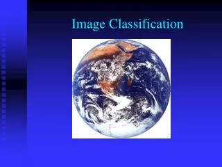
Satellite image classification
Satellite image classification. SSIP 08, Vienna. Tamas Blaskovics University of Szeged Michael Glatz Vienna University of Technology Korfiatis Panagiotis University of Patras, José Ramos Porto University. Task.


Satellite image classification
E N D
Presentation Transcript
Satellite image classification SSIP 08, Vienna Tamas Blaskovics University of Szeged Michael Glatz Vienna University of Technology Korfiatis Panagiotis University of Patras, José Ramos Porto University
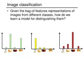
Task Satellite Image Classification: • Input: Landsat images of terrain, plus sample images of fields/ sea, forest etc • Aim: segmentation of scene based on texture (and color) • Additional goal: intenfication of key features such as cave openings etc • Output: labeled scene
Satellite image classification Input Image MRF Semi- Supervised Segmentation MRF Unsupervised Segmentation k-means Unsupervised Segmentation or or Output Image or Area classification ( User Interaction) Area classification ( Automated)
Dataset 20 images aquired with the IKONOS Satellite. (http://www.satimagingcorp.com/satellite-sensors/ikonos.html)
Method 1/2 Step 1: Image Segmentation • The RGB image was converted to L*u*v color space • Two unsupervised methods were used: • MRF segmentation ( Kato et al. ) • EM step • ICM • K-means • Parameters: • User defined: # of regions, β, temperature.
Method 2/2 Step 2: Class Characterization • User defined • User chooses the desired region for classification • The first order statistics (mean, variance, skewness, kurtosis, range) are calculated for a ROI around the selected image • Automated • Skeletonization technique was applied for each segmented region • A sliding ROI (21 x 21) was used to extract first order statistics • K-nearest neighbor classifier was used (NN) • Segmented area is also calculated
Features evaluated Segmentation Stage: • Intensity value channel U • Intensity value channel V Classification Stage: • Mean value • Standard deviation • Kurtosis • Skewness • Range
Comments • Visual evaluation seems to present good results • No serious evaluation was conducted • Segmentation process is slow • Dataset is too small to construct robust learning process
Future developments • Segmentation process Evaluation of more complex techniques • Classification process Bigger training database Other texture features Different classifiers • Evaluation Use of ground truth and shape differentiation metrics