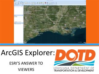
ArcGIS
ArcGIS. Largest Selling GIS Software Application Broad support in many sectors Expensive Slow Many Quality Issues Not popular outside the US. There are lots of options. GRASS: Really hard to use Quantum GIS: Not as hard to use DIVA GIS: Easy, not as full featured MapInfo: Marketing


ArcGIS
E N D
Presentation Transcript
ArcGIS • Largest Selling GIS Software Application • Broad support in many sectors • Expensive • Slow • Many Quality Issues • Not popular outside the US
There are lots of options • GRASS: Really hard to use • Quantum GIS: Not as hard to use • DIVA GIS: Easy, not as full featured • MapInfo: Marketing • Autodesk: CAD, Utilities • Intergraph: GeoMedia • IDRISI: Clark University • Smallworld: ?
Utilities • FWTools • Proj4 – Projectors (SRS conversions) • GDAL – Raster file format conversions • OGR - Vector file format conversions • EPSG • European Petroleum Standards Group • Database of SRSs • 7zip • Decompression
Modeling/Analysis Software • Geospatial Modeling Environment • Primarily Wildlife Modeling • Was Hath’s Tools • R • Free statistics package • Some spatial functions • SAGA • System for Automated Geoscientific Analysis • Free • IDRISI • Image processing and analysis
Vertical Applications • HEC-RAS: • Hydrologic Engineering Centers River Analysis System • Army Corp of Engineers • Fire: • BehavePlus • FlamMap • FARSITE • Others…
Arc Extensions • Hawth’s tools -> Geospatial Modeling Environment • Historically for modeling animal movement • Extensive feature set in a new language • Number of available extensions has decreased lately • Many “tools” are written internally to organizations • ArcMap 10’s main language for writing extensions is “Python”
FWTools • OpenEV: raster/vector viewing & analysis • MapServer: GIS Web Server • GDAL/OGR: File conversion • Proj4: projection engine • OGDI: Military file formats • Python: Scripting Language
R • Open Source Statistics Package • Unique Programming Language • Multiple Spatial “Libraries” • www.r-project.org
Databases • Spatially Enabled: • Oracle Spatial • MS-SQL Server 2008 • PostgreSQL/PostGIS • Others: • MySQL • MS-Access