ArcGIS
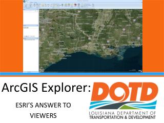
ArcGIS. Did anyone visit the links on the course web site? Questions so far?. Free online ArcMAP. http://www.arcgis.com/explorer/ create account Show help and FAQ s add data measure lengths and areas iPad and Android Apps. Google Earth. Basically a pre-populated free GIS


ArcGIS
E N D
Presentation Transcript
ArcGIS • Did anyone visit the links on the course web site? • Questions so far?
Free online ArcMAP • http://www.arcgis.com/explorer/ • create account • Show help and FAQs • add data • measure lengths and areas • iPad and Android Apps
Google Earth • Basically a pre-populated free GIS • Layers of Google’s choice • Can measure • Can create tour • Some historic maps • Artificial shadows • Flyover
The rest of the GIS world • ESRI is the current standard but expensive • Many commercial competitors • Open source software (free) • iOS and Android apps • Advantage - GPS combined with GIS
Commercial Desktop GIS • MapGuide by Autodesk • IGIS by ScanPoint • MicroStation by Bentley Systems • IMAGINE by ERDAS • Intergraph • MapInfo by Pitney Bowes • Smallworld by GE • RegioGraph by GfKGeoMarketing • ThinkGeo • GMS by Aquaveo • SIS by Cadcorp • Maptitude by Caliper • Dragon/ips • ENVI • Field-Map • IDRISI by Clark Labs • Manifold System • Netcad
Free GIS Software and Tutorials • GRASS – US Corps of Eng • SAGA • Quantum • MapWindow • ILWIS - Holland • uDig - Canada • JUMP • GRASS in a nutshell • Introductory materials • Tutorials • Intro
iOS apps • ArcGIS Mobile • Google Earth • iGIS • 3D GIS • eGIS Mobile • GISRoam • GIS4Mobile • MyGIS • More to come
Android Apps • ArcGIS • GIS Mobile • MapWithUs GIS • GeoMobile for ArcGIS • pcMapper Lite • Google Earth • More to come
GIS review • What does GIS stand for? • Geographic Information System • What is the definition of GIS? • The computer, procedures, data and people that captures, stores, analyzes and displays geographic information including features and their attributes • What are the functions of a GIS? • GeoVisualization • Geodatabase Management • Geographic Analysis/Processing
GIS REVIEW continued • Layers of data (shapefiles) • Geographic features with attributes • Topology • Analytical tools for spatial and data processing
GIS REVIEW - DATA • Understanding vector data • Points, lines, polygons • Understanding raster data • Continuous data (CD) • Equal sized cells • Origin links cells to real world
GIS REVIEW - MAPS • What is a feature? • Real world object on a map • Has a shape (vector), location, symbol, attributes • What is a layer? • Collection of features (same theme) • What is scale? • Ratio of size on map to size in real world • What is a map layout? • Output for view or print • Legend, scale, title, n arrow