Download
1 / 15
150 likes | 258 Vues
Explore Missouri ELTs (Ecoregional Land Types) and ESDs (Ecological Site Descriptions) including soil properties, vegetation, and development processes. Access interactive maps and detailed ecological information on MDC's public website. Learn about ELT formation and soil types like Loess, Fragipan, Upland, and Flatwoods through hands-on training workshops and detailed ecological site reports. Utilize Web Soil Survey mapping with hyperlinks for comprehensive understanding.

E N D
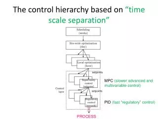
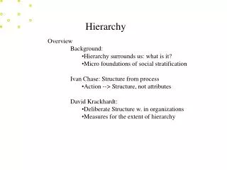
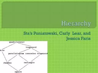
USFS Hierarchy Finer Scale Units for Missouri ELTs=ESDs=HGM
What We’ve Done in Missouri Nigh and Schroeder 2002 Electronic Copy: At MDC Public Website go to Interactive Maps/Atlas of Missouri Ecoregions
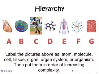
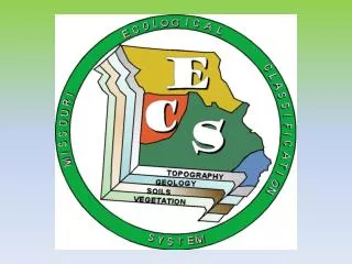
What is an ELT or ESD? Geo-Landforms ELTs/ESDs Soil Properties Vegetation
Example ELT/soil legend: Loess FragipanUpland Flatwoods ELT Nelson Community Loess Fragipan Upland Flatwoods MDC Forest Type
Products • Ecological Site Descriptions • Web Soil Survey Mapping with hyperlinks to ELT/ESD Description
Products • Eco-regional Reports • By MLRA • Outlines Methodology • Descriptions of the region, ELT/ESD sequence • Legend of dominant ELTs/ESDs • Cross-sections • DVD including a pre-assembled GIS project and all associated spatial data
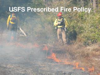
Products Hands-on Training Workshops by ecoregion
Products • Ecological Site Description using NRCS format, which includes: • Physiographic, soil narrative • Ecological dynamics of site • Vegetation description • State and Transition Model • Management criteria and guidelines • Web Soil Survey Mapping with hyperlinks to ELT Description