GIS LiDAR Data Processing
SBL offers LiDAR services, extracts Digital Terrain Models (DEMs) for high resolution orthophoto production, Fly-through generation, Cut and Fill calculations for engineering projects like dams, tunnels and roads.We integrate knowledge, technology, people, and business with geographic zones to develop innovative and potential services to local as well as global clients.


GIS LiDAR Data Processing
E N D
Presentation Transcript
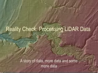
LiDAR Data Processing • LIDAR (Light Detection And Ranging) is an optical remote sensing technology, used to model the earth’s surface in detail. LiDAR is used for atmospheric research, topographic mapping ,making DEM's and for various other purposes.
LiDAR Applications LIDAR data products can be used in generation of digital elevation models, LiDAR Mapping,generation of elevation profiles, Digital Surface Models (DSM) and Digital Terrain Models (DTM) as raster, countor models, Surface and land use characterization.
For more information about LiDAR Services SBL ( Sai BPO Services Ltd ) 1st Floor, Leela Infopark - Phase - II Sez, Kusumagiri P.O, Kakkanad, Cochin, India Ph : +91 484 2784057 http://www.sblgis.com/gis-lidar.aspx Mail :- gayathril@sblinfo.com