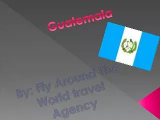
Guatemala: Land of Diverse Climates and Cultures
160 likes | 268 Vues
Discover Guatemala, a country in Central America at the heart of the Caribbean Sea and the Pacific Ocean. Learn about its diverse climates, cultures, transportation methods, and environmental impact. Explore its regions and the challenges faced by its people and nature.

Guatemala: Land of Diverse Climates and Cultures
E N D
Presentation Transcript
Guatemala Amber Bishop
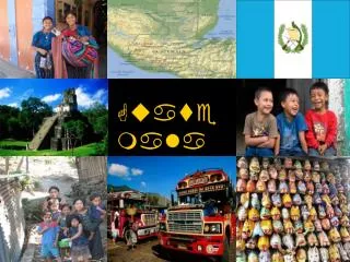
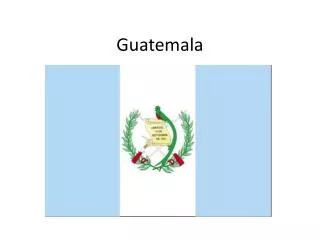
Location • Is located in Central America at the southern tip of the Caribbean Sea and the Pacific Ocean. • Is slightly smaller than the state of Tennessee. • Latitude and Longitude: 15 degrees north and 90 degrees west.
climate • The climate depends on the altitude and not so much as the latitude. • There are 3 different climate zones. • The tropical climate zone- hot and humid day and night year round. Daytime temperatures can reach 100 degrees F. Nighttime temperatures rarely drop below 70 degrees. The entire coastal plain has these temperatures. • The temperate zone: Daytime temperatures rarely reach 85 degrees F and nighttime temperatures are pleasantly cool. • Cool zone: Daytime temperatures are only slightly lower than the ones in the temperature zone but the nights are really cold and temperatures drop below freezing.
cultures • 60% of the population is Mestizo. • 39% of the population is Amerindians. • 1% of the population is other.
Transportation • Transportation in Guatemala is just like most other countries. • The most common way to travel in Guatemala is by land. The best way to travel on land is by bus. • You can also travel by sea and by river. There are many boats that make that transportation possible. • Another way you can transport is transportation by air.
Movement of Goods • Main exporters: United States, Honduras, El Salvador, Mexico, Nicaragua, and Costa Rica. • Exports: Coffee, banana, cardamom, and sugar. • Main Importers: United States, El Salvador, Mexico, and China. • Imports: fuels, machinery, transport equipment, construction materials, grain, fertilizers, and electricity.
Environment Affecting the people • Depending what climate zone you live in it depends on what type of clothes you would have to wear. • If you live in the temperate zone or tropical climate zone you should wear light color clothing. • If you live in the cool zone you would want to wear warmer clothing at night and cooler clothes in the daytime.
Humans affecting the environment • 50% of the nations have been destroyed due to deforestation since 1890. • The water supply is at risk due to industrial and agricultural toxins. • 57% of the population does not have access to clean water. • Many of the species in Guatemala are endangered.
Regions • Guatemala is divided into 8 different regions. • A couple of the regions are: Mayan Area, Petén Area, and the Quecchian Area. • Mayan Area: Is located in the Belize area. The mountains in this area is covered in wet forest (Windward side). The other side of the mountains tends to be much drier and is covered in pine. ( Leeward Side) • Petén Area: Is located in the northern part of Guatemala. The species in the Petén area are widespread in the Mexican and Central American Caribbean lowlands.
Regions • Quecchian Area: The region is located by subtropical wet rainforests, lower montane wet forest also known as cloud forest, and subtropical humid forest. There are many salamanders, frogs, and lizards in this area.