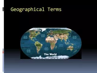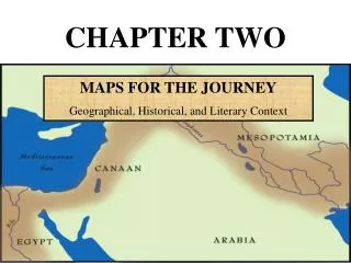
Geographical Tools - Maps
Geographical Tools - Maps. Australia and Its Regional and Global Contexts. Syllabus Requirements. Use various types of maps and flow charts Locate features using degrees and minutes of latitude and longitude Describe and explain relationships on a map

Geographical Tools - Maps
E N D
Presentation Transcript
Geographical Tools - Maps Australia and Its Regional and Global Contexts
Syllabus Requirements • Use various types of maps and flow charts • Locate features using degrees and minutes of latitude and longitude • Describe and explain relationships on a map • Distinguish between large-scale and small scale maps
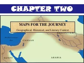
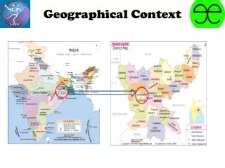
Use of various types of maps continued ACTIVITY 1. Study maps 1.3 to 1.10. Which ones might be used by someone studying: a) the weather b) physical features in the Northern Territory c) political boundaries? 2. Collect at least eight maps. Create a table that shows the title, map type and use for each map.
Locate features using degrees and minutes of latitude and longitude
Describe and Explain Relationships on a Map – Exercise 1 ACTIVITY 1.Describe the location of the Australian fishing grounds shown in 1.55. 2.Refer to 1.59 a) Describe the spatial distribution of Australia’s uranium reserves. b) Name the former uranium mine located in South Australia. c) Name the uranium mine in the Northern Territory.
Activity Small and Large scale maps • Refer to 11.2, Skills master, 1.3 and 1.12 (the past three slides) • Which map shows the largest area? • Which map shows the smallest area? • Which map has the largest scale? • Which map has the smallest scale? • Rank the maps from the smallest to the largest scale