Download
1 / 26
260 likes | 480 Vues
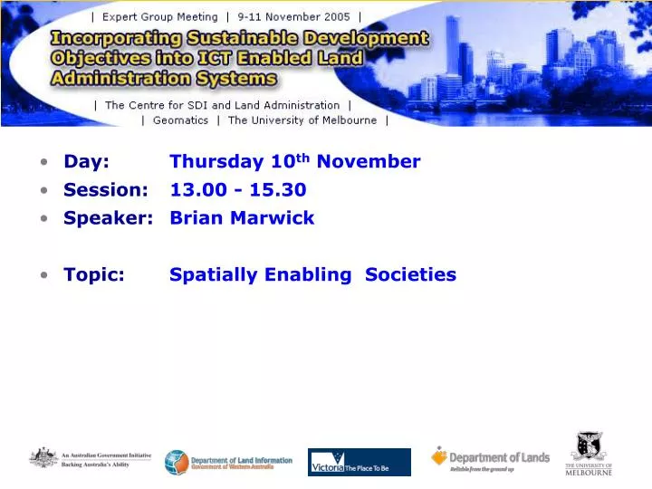
Day: Thursday 10 th November Session: 13.00 - 15.30 Speaker: Brian Marwick Topic: Spatially Enabling Societies. Spatially Enabling Society - Some “Technical” Challenges Brian Marwick Manager Spatial Information Services LogicaCMG. Introduction Technical challenges ?

E N D
Day: Thursday 10th November • Session: 13.00 - 15.30 • Speaker: Brian Marwick • Topic: Spatially Enabling Societies
Spatially Enabling Society - Some “Technical” Challenges Brian Marwick Manager Spatial Information Services LogicaCMG
Introduction Technical challenges ? ICT environment Private Sector participation Proposed Model
What is the technical challenge ? Building and maintaining a sustainable database that “feeds” on data collected bymultiple organisations for their own internalpurposes, where the resultant compiled data is provided to arange of organisations with varying service delivery objectives and each with their own evolving expectations as to the purpose that the data can be successfully used.
“Sustainable” • “the ability to maintain into perpetuity” • Cost effective, collect the “right” data, have credibility, etc • “Collected by multiple organisations for their own internalpurposes” • Many of the components within an integrated database will be sourced from organisations where the data was collected for own internal purposes to their standards • (e.g. addresses from Local Councils or postal authorities, road centrelines from Road authorities, Title information from land Registry, Occupier from Local Councils) • Issues on data consistencies must arise
“Provided to arange of organisations with varying service delivery issues” • Local Councils, Utilities, Land Registry, Emergency Services, members of the public, etc • Service delivery issues in terms of risk of error, frequency of use, accessibility to employees, skills available, etc • How “good” does the data need to be ? • “Evolving expectations” • As an organisation’s understanding of the technology expands, fostered by changes in technology and the public’s expectation of service delivery, so will their expectations of the data • For example, higher spatial accuracy and data consistency between datasets are being increasingly expected by many users. In the past the experienced users understood the nuances of the data
The Challenge of Data Integration – some examples Identification of land (in a non cadastral manner) Generally under some form of policy control in most States of Australia e.g. State: Victoria Locality: Port Phillip (gazetted) Street: Acland Street Street Number: 1500
Bendigo (Vic) G-NAF Addresses after Initial Build where all 3 contributors agreed Bendigo (Vic) G-NAF Addresses after Update 2 and rules created to correct localities
Bundaberg (Qld) G-NAF Addresses after Initial Build where all 3 contributors agreed Bundaberg (Qld) G-NAF Addresses after Update 6 and rules created to correct localities
A PARCEL VIEW A PROPERTY VIEW
Standards Standards Policies Policies Expertise Expertise Data Contributors Breadth of data acquisition standards Build and Maintain “The Perfect World” Users Breadth of User goals for data User Community
Standards Standards Policies Policies Expertise Expertise Data Contributors Breadth of data acquisition standards Build and Maintain One possible “real” world Users Breadth of User goals for data User Community
Relationship Management Standards Standards Policies Policies Expertise Expertise Data Contributors Breadth of data acquisition standards Build and Maintain Another possible “real” world Users Breadth of User goals for data User Community
The Changing ICT Environment • From my position, ICT is not an impediment to our success • Databases such as Oracle with its standard functionality has reduced spatial data to just another table in the database • The requirement for specialist IT staff is reducing • A possible issue will be deciding the rate at which you adopt the new technologies, not waiting for its availability
The role of the Private Sector • To a large degree the private sector’s role in “Land Administration” in Australia has been generally limited to technology provision and short term specialist consulting work • The experience in Victoria suggests the private sector can fulfill a larger role particularly in the data management area in partnership with Government • A broader role for the private sector could assist in building the culture required to successfully sustain the integrated holistic model under discussion
Proposed Model • Terminology issues • “Land Administration Systems” • Does this term promote the holistic view in the broader community of interest? • Stronger focus on relationship management and the development of a culture which will sustain the system over time