Download
1 / 64
640 likes | 867 Vues
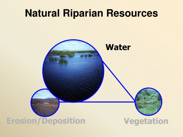
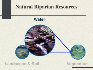
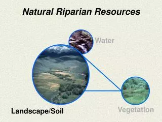
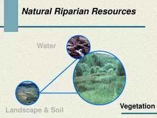
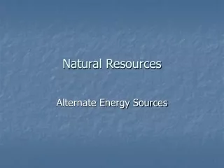
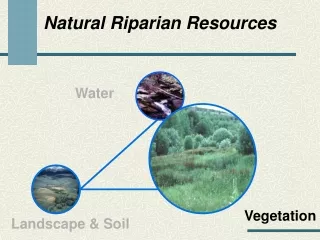
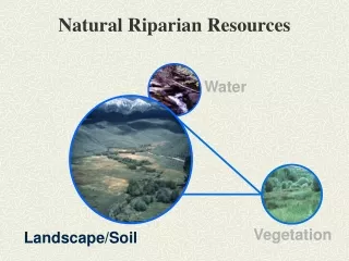
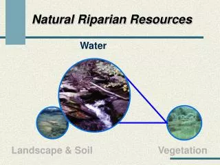
Natural Riparian Resources. Water. Landscape & Soil. Vegetation. Stream Channels Must:. Be able to access a floodplain Maintain the water table Transport the natural sediment load. The stream does this by maintaining the appropriate:. Channel Dimensions ( width/depth ratio )

E N D
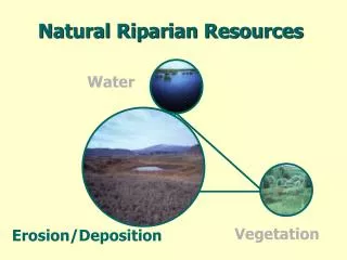
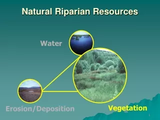
Natural Riparian Resources Water Landscape & Soil Vegetation
Stream Channels Must: • Be able to access a floodplain • Maintain the water table • Transport the natural sediment load
The stream does this by maintaining the appropriate: • Channel Dimensions(width/depth ratio) • Meander Pattern (sinuosity) • Profile (gradient or slope) THEY ARE ALL INTERRELATED!!
Rosgen Stream Classification Sinuosity Sinuosity = Stream Length/ Valley Length 1.9 370’ 195’
Rosgen Stream ClassificationSinuosity Sinuosity = Stream Length / Valley Bottom Length 1 = 100’ / 100’
Rosgen Stream ClassificationSlope or Gradient Elevation at Elevation at upper end - lower end % Mean Slope = * 100 Stream channel length
Change channel shape = change functionalityDixie Creek, Nevada W/D ratio = 9.3 W/D ratio = 40 30 cfs 30 cfs
Change channel shape = change functionalityBox Elder Creek – Black Hills W/D ratio = 1.5 W/D ratio = 8.0 8 cfs 8 cfs
Stream Classification • Ordering of streams into sets based on their similarities or relationships • Objectives • Predict river’s behavior • Provides hydraulic and sediment relationships • Extrapolate site specific data to similar streams • Consistent framework for communication
Rosgen Stream Classification • Stream Characterization • Channel Characteristics • Width to Depth Ratio • Entrenchment Ratio • Channel Material
Rosgen Stream Types Rosgen, 1996
Rosgen Stream ClassificationChannel Material (substrate) • 1 – Bedrock • 2 – Boulder (10+ inches) • 3 – Cobble (2.5 to 10 inches) • 4 – Gravel (.08 to 2.5 inches) • 5 – Sand (.062 to 2 millimeters) • 6 – Silt/Clay (< .062 millimeters)
1) Floodplain above bankfull is inundated in “relatively frequent” events • Purpose: To determine if frequent floodflows are capable of spreading out on a low-lying area adjacent to the stream. • Item is NA if floodplains are not a feature of the stream type • Look for indicators such as oversized channel, incised channel, upstream reservoir • Many spring fed streams in small watersheds lack well defined floodplains
Terrace Bankfull Floodplain
Floodplain Terrace Terrace Floodplain • Level area near a stream channel • Constructed by the stream • In the present climate • Flooded during moderate events • Should not be confused with “terraces” (abandoned floodplains) 1994 Leopold
Discharge at bankfull stage creates & maintains channels Moves sediment Forms or removes bars Forms or changes bends and meanders Results in the average geomorphologic channel characteristics Recurs every 1 to 2 years
Bankfull Indicators • Deposition Features • Top of point bars • Change in Vegetation • Especially lower limit of continual line of perennial species, at least 1 ft.
Bankfull Indicator Top of Point Bars
Bankfull Indicators • Change in particle size of bank material • Boundary between cobble/boulder and fine grained sand or silt • Undercut banks • Usually slightly below bankfull stage • Stain lines or lower extent of lichens on boulders (Usually in large rivers)
Should this stream type have a floodplain? • How wide should it be? • How wide is it? • Is the stream channel incised or over sized? • Has widening begun? • Are most terrace walls sloped indicating widening has stopped? • Is there an up stream reservoir?
Should this stream type have a floodplain? • How wide should it be? • How wide is it? • Is the stream channel incised or over sized? • Has widening begun? • Are most terrace walls sloped indicating widening has stopped? • Is there an up stream reservoir?
2) Where beaver dams are present, they are active and stable • Purpose: To document whether beaver are present, and if so, whether the dams are being maintained. • Beaver must be present or the dam is causing hydrologic effects • If dams are present then stability must be addressed • Usually a single dam is subject to high storm events
Are beaver dams currently acting as hydrologic modifiers? • Are beaver present? • Are beaver actively maintaining the dam? • Is there sufficient food to support the beaver? • Is the dam self-sustaining, e.g., significant vegetation is rooted in the dam? • Is the beaver dam a single large dam? • Are the beaver dams in a complex?
1995 1992
3) Sinuosity, width/depth ratio, and gradient are in balance with the landscape setting (i.e., landform, geology, and bioclimatic region) • Purpose: To determine if the stream has the appropriate dimension, pattern, and profile for the setting. Item has three parts: • Sinuosity • Width/Depth ratio • Gradient • All three must be “yes” for the answer to be “yes” • Undercut/overhanging banks indicator of a “yes”
Sinuosity • Is the stream actively eroding and building point bars? • Are there indications of channel straightening? • Does the sinuosity appear to be appropriate for the valley bottom type?
Sinuosity • Is the stream actively eroding and building point bars? • Are there indications of channel straightening? • Does the sinuosity appear to be appropriate for the valley bottom type?
“most streams cross-section are not parabolic or semicircular (dish-shaped) in shape along the straighter reaches” Leopold 1994 “Rather, they are usually trapezoidal in shape with distinctly developed streambanks” Leopold 1994
Width/Depth Ratio – Over-widened channel indicators • Bank slumping and shearing • Woody species growing within the channel • Dish-shaped banks
Width/DepthRatio • Is the stream channel dish-shaped? • Are streambanks slumping? • Is the floodplain the appropriate size (see question 1)?
Gradient (closely related to sinuosity) • Is the channel incised or overwidened? • Does the channel appear to be straightened? Decreased sinuosity = Increase gradient • Does the sinuosity appear to be appropriate for the valley bottom type?
Is the channel incised or overwidened? • Does the channel appear to be straightened? • Does the sinuosity appear to be appropriate for the valley bottom type?