
Uploaded by
xiu
20 SLIDES
541 VUES
230LIKES
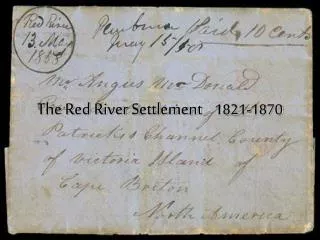
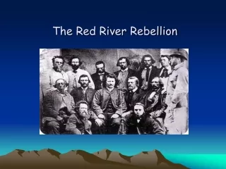
The Red River Floods
DESCRIPTION
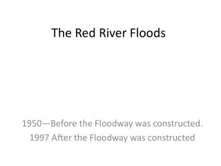
The Red River Floods. 1950—Before the Floodway was constructed. 1997 After the Floodway was constructed. This map shows the area that is flooded, the next map gives you a distance perspective of the area flooded. Point Douglas 1950. Crescentwood Winnipeg 1950.
Download
1 / 20
Télécharger la présentation 
The Red River Floods
An Image/Link below is provided (as is) to download presentation
Download Policy: Content on the Website is provided to you AS IS for your information and personal use and may not be sold / licensed / shared on other websites without getting consent from its author.
Content is provided to you AS IS for your information and personal use only.
Download presentation by click this link.
While downloading, if for some reason you are not able to download a presentation, the publisher may have deleted the file from their server.
During download, if you can't get a presentation, the file might be deleted by the publisher.
E N D
Presentation Transcript
The Red River Floods 1950—Before the Floodway was constructed. 1997 After the Floodway was constructed
This map shows the area that is flooded, the next map gives you a distance perspective of the area flooded.
And South of the Border in Grand Forks North Dakota • http://wn.com/Red_River_Flood_of_1997_April_21_Aerial_Views_of_Damage


More Related