Download
1 / 36
360 likes | 449 Vues
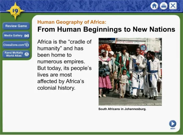
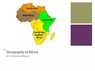
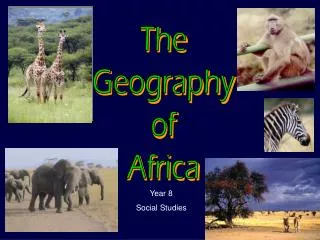
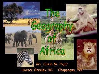
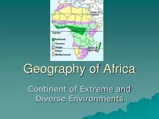
Geography of Africa. Label Bodies of Water: Atlantic Ocean Gulf of Guinea Strait of Gibraltar Mediterranean Sea Suez Canal Red Sea Gulf of Aden Indian Ocean Mozambique Channel. General Information. 11,608,000 sq miles Second Largest Continent 3.3 times larger than the us

E N D
Label Bodies of Water: • Atlantic Ocean • Gulf of Guinea • Strait of Gibraltar • Mediterranean Sea • Suez Canal • Red Sea • Gulf of Aden • Indian Ocean • Mozambique Channel
General Information • 11,608,000 sq miles • Second Largest Continent • 3.3 times larger than the us • 20.2% of Earth’s Land • 878 million people
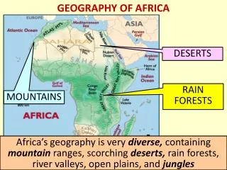
Plateaus Africa is dominated by plateaus in South & East
Escarpments & Cataracts • Escarpment: A steep slope or long cliff separating two level areas of differing elevation • Cataract: waterfall or where the flow of a river changes dramatically
Key Landforms: • Atlas Mountains • Sahara Desert • Ahaggar Mountains • Tibesti Mountains • Sahel • Great Rift Valley • Ethiopian Highlands • Horn of Africa • Congo River Basin • Mount Kilimanjaro • Serengeti Plain • Kalahari Desert • Namib Desert • Cape of Good Hope
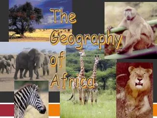
Savanna • also known as tropical grasslands • Most common environment in Africa • rolling grassland scattered with shrubs and isolated trees • found in a wide band on either side of the equator between tropical rainforests and deserts • warm temperature year round; a very long dry season (winter), and a very Short wet season (summer).
Serengeti Plain An area of northern Tanzania bordering on Kenya and Lake Victoria. It is internationally well-known for its extensive wildlife preserve.
Sahara Desert • almost 1/3 of the continent • largest desert in the world (Antarctica Doesn’t count) • 3,500,000 sq. miles (size of us) • areas of Mountains, rocky plains, rolling sand dunes and numerous sand seas • Regional deserts: Libyan, Nubian & the Western desert of Egypt
KALAHARI DESERT • 100,000 sq. miles • covers much of Southern Africa (Botswana, southwest South Africa, western Namibia) • Along the coastal known as the Namib Desert
The Sahel • Comes from the Arabic for “shore” • transition zone between northern arid Sahara and the Southern tropical area • Prone to droughts and is experiencing desertification.
Congo River Basin • 1,400,000 sq. miles • 20% of the world's rain forest • dominates the Democratic Republic of the Congo and Central Africa
Great Rift Valley • runs north to south for 3,000 miles, from Northern Syria to central Mozambique • In eastern Africa the valley divides into two, the Eastern Rift and the Western Rift
Mount Kilimanjaro The highest mountain in Africa, in northeast Tanzania near the Kenya border, rising in two snow-capped peaks to 19,340 feet
Major Rivers: • Niger River • Congo River • Nile River • Blue Nile • White Nile • Victoria Falls • Zambezi River Major Lakes: • Lake Chad • Lake Rudolf • Lake Albert • Lake Victoria • Lake Tanganyika • Lake Nyasa
The Nile River • World’s Longest river • 4150 miles • Drains East Africa • Blue Nile: Ethiopian Highlands • White Nile: Lake Victoria
Top Ten Longest Rivers 1. The Nile in Africa with a length of 4,145 miles 2. The Amazon-Ucayali in South America with a length of 4,000 miles 3. The Yangtze in Asia with a length of 3,900 miles 4. The Mississippi-Missouri in North America with a length of 3,740 miles 5. The Huang in Asia with a length of 3,395miles 6. The Ob-Irtysh in Asia with an length of 3,362 miles 7. Rio de la Plata-Parana in South America with a length of 3,030 miles 8. The Congo in Africa with a length of 2,900 miles 9. Parana in South America with a length of 2,800 miles 10. Amur-Ergun in Asia with an length of 2,761 miles
Lake Victoria • largest lake of Africa and world's second largest freshwater lake, 26,830 square miles • on the Uganda-Tanzania-Kenya border • occupies a shallow depression on the Equatorial Plateau between two arms of the Great Rift Valley
Victoria Falls • 1 mi wide with a maximum drop of 420 feet • in the Zambezi River on the Zambia-Zimbabwe border
Top Ten Cities in Africa • Lagos, Nigeria-- 8,029,200 (9,123,200) • Cairo, Egypt-- 7,764,700 (15,546,100) • Kinshasa, Dem Rep Congo-- 6,301,100 (7,527,500) • Alexandria, Egypt-- 3,806,300 (4,345,800) • Casablanca, Morocco-- 3,344,300 • Abidjan-- Cote d' Ivoire-- 3,310,500 (3,972,300) • Kano, Nigeria-- 3,248,700 (3,519,500) • Ibadan, Nigeria-- 3,078,400 (3,670,400) • Cape Town, South Africa-- 2,686,000 (3,086,600) • Addis Ababa, Ethiopia-- 2,638,500