Download
1 / 72
750 likes | 775 Vues
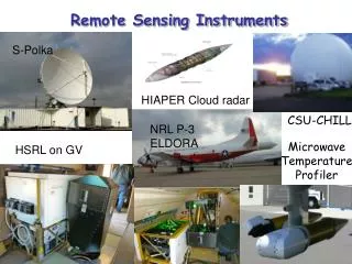
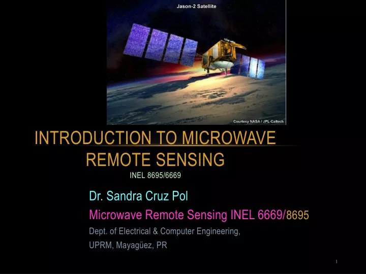
Introduction to Microwave Remote Sensing INEL 8695/6669. Dr. Sandra Cruz Pol Microwave Remote Sensing INEL 6669/ 8695 Dept. of Electrical & Computer Engineering, UPRM, Mayagüez, PR. Outline. Importance of Microwaves Sensor types: passive/active Radiometers RADARS

E N D
Introduction to Microwave Remote SensingINEL 8695/6669 Dr. Sandra Cruz Pol Microwave Remote Sensing INEL 6669/8695 Dept. of Electrical & Computer Engineering, UPRM, Mayagüez, PR
Outline • Importance of Microwaves • Sensor types: passive/active • Radiometers • RADARS • Electromagnetic Spectrum • Atmospheric windows • Brief history • Applications
Why Microwaves? • Capability to penetrate clouds and, to some extent, rain. • Independence of the sun as a source of illumination. • Provides info about geometry and bulk-dielectric properties.(e.g. salinity) www.cencoos.org/sections/news/LaNina_2010.shtml 3 stages of El Niño
Why Microwaves? 30 GHz 300 MHz • Penetrate more deeply into vegetation than optical waves. • Penetrate into ground (more into dry than wet soil).
Penetration depth vs. soil moisture • Visible and IR sensors can sometimes be used to complement this information
IR (Top) versus microwaves (bottom) http://www2.hawaii.edu/~jmaurer/sst/
Electromagnetic Spectrum http://www.lbl.gov/MicroWorlds/ALSTool/EMSpec/EMSpec2.html
Soil Penetration[www.uni.edu/storm/rs/2001/vh7.html] Aplicaciones: mapas zonas propensas a fuegos.
Snow – microwave penetration Aplicación: mapas de barcos icebreakers, estudios climáticos.
Ka W X Why study Clouds?… • Affect Earth’s radiation budget • Improve global climate models (GCM) • Improve reliability of forecasts Transmitted (white) Absorbed (blue area) Atmospheric Windows
Microwave Remote Sensing Sensors 1. Passive– Uses of radiometers to study the Earth Passive sensors are called microwave radiometers, which receive and detect the radiation emitted from various objects on the earth 2. Active– Uses RADAR (RAdio Detection And Ranging) to study Earth Active microwave remote sensor illuminates the ground with microwave radiation and then receives the back-scattered energy from the object. Some of the active microwave remote sensors are : • Radars: CW, Pulse, Doppler, FM, Side looking airborne radar (SLAR) , Synthetic aperture radar (SAR) • Wind scatterometer • Altimeter • Polarimeter
What is radiometry? • All objects radiate EM energy. • Radiometry measures of natural EM radiation from objects; earth, ice, plants...
Where does energy goes? • Energy (EM waves) received at the Earth from the Sun is • absorbed (atmosphere, clouds, earth, ocean…) • scattered • transmitted • Absorbed energy is transformed • into thermal energy. • Thermodynamic balance • through emission, absorption,… is called RT=Radiative Transfer
Microwave Radiometer (~70% of the time) (Arecibo Observatory works as radar too!) Microwave Radar (Tropical Rainfall Measuring Mission (TRMM) satellite) Global Precipitation Measurement (GPM)
History of Radars • Henry Hertz, 1886 1st radio experiment, reflections detected @200MHz, confirmed experimentally that an electric spark propagates electromagnetic waves into space. • 1890, Tesla illuminated a vacuum tube wirelessly—having transmitted energy through the air using a Tesla coil to change 60Hz into hi-freq. • 1895 Marconi patent for radio, 1986 in England, using 17 patents from Tesla. • 1925- Pulse radars to measure height of ionosphere. • 1930- unintentionaldetection of airplanes • 1943 the Supreme Court overturned Marconi's patent in favor of Tesla. • WWII- detecting ships and aircraft. Used PPI displays. • MIT- developed magnetron – hi-power Tx and klystron –Lo-power source • 1938 Altimeter – airborne FM radars at 400MHz to measure altitude. • 1950 – SLAR – finer resolution cause antennas length up to 15 m fixed || to fuselage. Airplane motion produced a scan.
History of Radars Side Looking Aperture Radar (SLAR) Range resolution =>pulse width Azimuth resolution=> antenna size PPI= Plan position indicator www.csr.utexas.edu/projects/rs/whatissar/rar.html
Sea Ice and Iceberg Detection By SLAR (Side Looking Airborne Radar) • Lightblue- sea ice • Green -open water http://www.etl.noaa.gov/technology/instruments/rads/ice.html
History of Radars • 1952- 54 SAR –”fine resolution Doppler”, • pixel dimension in the along track direction independent of distance from radar, • antenna could be much smaller. [Complex processing to produce an image.] • Scatterometer – radar that measures scattering coefficient, s. (In ocean, scatter is proportional to wind speed.) • 1950s 1st U.S. weatherradars • 1970 – Doppler becomes major technique for meteorology. NEXRAD RADARSAT is a Synthetic Aperture Radar (SAR) at C-band. Used for oceanic oil spill and ice sheet monitoring. A target's position along the flight path determines the Doppler frequency of its echoes: Targets ahead of the aircraft produce a positive Doppler offset; targets behind the aircraft produce a negative offset. As the aircraft flies a distance (the synthetic aperture), echoes are resolved into a number of Doppler frequencies. The target's Doppler frequency determines its azimuth position. http://www.met.ed.ac.uk/~chris/RS1Web/sar2-2000/ppframe.htm
Seasat-1 Antenna pattern for each of its microwave sensors
EARTH Geoid The geoid is the shape that the surface of the oceans would take under the influence of Earthgravity and rotation alone, in the absence of other influences such as winds and tides
History of Microwave RadiometersP=kTBonly at ml frequencies • 1930s- First radiometers used for radio-astronomy (RAS) • 1950s- First radiometers used for terrestrial observations • Earth Exploration Satellite Service (EESS)
Water absorption measurements circa 1945 • A Radiation Laboratory roof-top crew use microwave radiometer equipment pointed at the sun to measure water absorptionby the atmosphere. • Atop Building 20 (from left): Edward R. Beringer, Bob L. Kyhl, Arthur B. Vane, and Bob H. Dicke (Photo from Five Years at the Radiation Laboratory) http://rleweb.mit.edu/groups/g-radhst.HTM
Why monitor WV? • Water vapor is one of the most significant constituents of the atmosphere since it is the means by which moisture and latent heat are transported to cause "weather". • Water vapor is also a greenhouse gas that plays a critical role in the global climate system. This role is not restricted to absorbing and radiating energy from the sun, but includes the effect it has on the formation of clouds and aerosols and the chemistry of the lower atmosphere. • Despite its importance to atmospheric processes over a wide range of spatial and temporal scales, it is one of the least understood and poorly described components of the Earth's atmosphere.
IeeeMicrowave Radar Bands Airport Millimeter Wave scanners use 24.25GHz-30GHz frequency range (wavelength 10-12mm) (millimeter) www.serve.com/mahood/RCS/bands.htm