Download
1 / 5
50 likes | 286 Vues
Satellite Maps http://www.usatoday.com/weather/wsatwork.htm. What do satellite images show? What can meteorologists learn by the shade of the clouds on a satellite image? Why is this information important?. Radar Maps http://www.usatoday.com/weather/wearadar.htm. What does radar show?

E N D
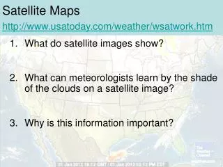
Satellite Mapshttp://www.usatoday.com/weather/wsatwork.htm What do satellite images show? What can meteorologists learn by the shade of the clouds on a satellite image? Why is this information important?
Radar Mapshttp://www.usatoday.com/weather/wearadar.htm What does radar show? How do we get radar images? Why is this information important?
Precipitation Mapshttp://ww2010.atmos.uiuc.edu/%28Gh%29/guides/mtr/cld/prcp/home.rxml What is precipitation? What are some examples of precipitation? Why is this information important?
Temperature Mapshttp://www.usatoday.com/weather/whattemp.htm What is temperature? Why is it usually cooler at night? Why is this information important?
Front Mapshttp://www.usatoday.com/weather/fronts/latest-fronts-systems.htm What is a cold front? What is a warm front? What type of weather does each typically bring? Why is this information important?