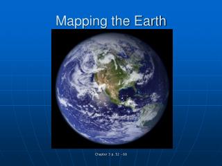
Measurements and Mapping on Earth
220 likes | 357 Vues
This overview explores the fundamental concepts of geographic measurements and mapping, focusing on the geographic grid system, isoline mapping, and Geographic Information Systems (GIS). Key topics include latitudinal and longitudinal coordinates, isotherms, isobars, and contour lines, which are essential for visualizing data on maps. We zoom in on important geographic coordinates and the significance of isolines in representing environmental variables, ensuring a clearer understanding of spatial data and its applications in various fields.

Measurements and Mapping on Earth
E N D
Presentation Transcript
Measurements and Mapping on Earth The Geographic Grid Isoline Mapping Geographic Information Systems
70ON, 180O 50ON, 100OE 4 3 0O,0O 30OS, 40OE 1 2 10OS, 20OW
What are Isolines… • Isotherms: • Isobars: • Isohytes: • Contour Lines: