Understanding Latitude and Longitude: Mapping Earth's Relative and Absolute Locations
This guide explores the concepts of latitude and longitude as essential tools for mapping and defining locations on Earth. Latitude denotes parallel lines measuring north and south of the equator, while longitude represents meridians measuring east and west from the prime meridian in Greenwich, England. Together, these imaginary lines create a grid system that helps geographers pinpoint absolute locations anywhere on the planet. The equator divides the globe into Northern and Southern hemispheres, while the prime meridian and 180˚ meridian separate the Eastern and Western hemispheres.

Understanding Latitude and Longitude: Mapping Earth's Relative and Absolute Locations
E N D
Presentation Transcript
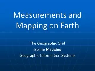
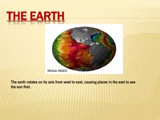
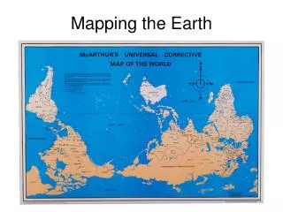
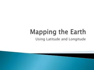
Mapping the Earth Using Latitude and Longitude
Relative location: describing the location of a place in relation to another place. • Absolute location: exact location of a place
I. Imaginary lines • circle the Earth • north – south • east – west • create a grid – helps us find places
II. Latitude • called parallels – run parallel to each other • measure distances north and south of the equator • imaginary line - halfway btwn No. and So. Poles • 0˚
distances measured in degrees • degrees are divided into minutes • 60 minutes are in a degree • parallels north of the equator are labeled N • south of the equator are labeled S
III. Longitude • called meridians • pass through the poles • measure distances east and west of the prime meridian • runs through Greenwich, England • 0˚
meridians east of the pm are labeled E • meridians west of the pm are labeled W
IV. Range • latitude: 0˚for equator to 90˚N or 90˚S for the poles • longitude: 0˚for prime meridian to 180˚in the mid-Pacific Ocean • using lat. and long., geographers can ID the exact (absolute) location of anything on Earth.
V. hemispheres • equator divides globe into Northern and Southern hemispheres (halves) • the prime meridian and 180˚meridian divide the globe into the Eastern and Western hemispheres