Natural Riparian Resources
420 likes | 442 Vues
Learn about riparian habitats, watersheds, and hydrological cycles in the context of natural resources management. Explore key indicators for floodplains, terraces, and beaver dam impacts on the environment.

Natural Riparian Resources
E N D
Presentation Transcript
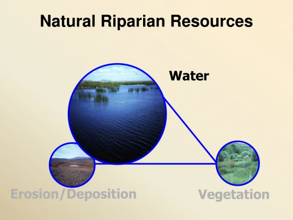
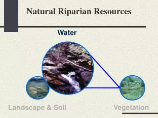
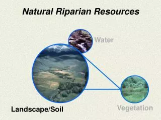
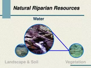
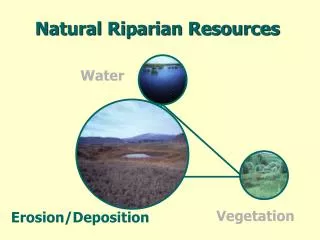
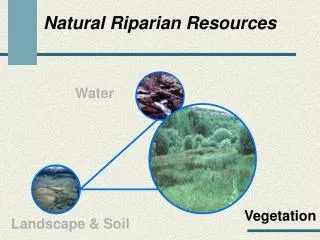
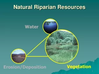
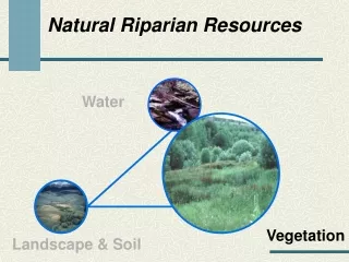
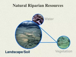
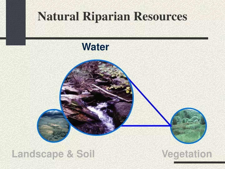
Natural Riparian Resources Water Landscape & Soil Vegetation
Water • Part of all physical and biological processes • Weathering process • Energy • Material • Transport • Deposition • Essential for all plants and animals
Watershed or Catchment • Geographic Area • Catches precipitation • Drains water • Has a single outlet or stream
Area Shape Orientation Slope Geology Drainage Pattern Elevation Climate Fixed Watershed Variables
Management Influenced Watershed Variables • Impervious Area • Soils • Drainage Density • Vegetation • Channel Features
1) Floodplain above bankfull is inundated in “relatively frequent” events Terrace Bankfull Floodplain
Discharge at bankfull stage creates & maintains channels Moves sediment Forms or removes bars Forms or changes bends and meanders Results in the average geomorphologic channel characteristics Recurs every 1 to 2 years
Bankfull Indicators • Deposition Features • Top of point bars • Change in Vegetation • Especially lower limit of continual line of perennial species, at least 1 ft.
Bankfull Indicators • Change in particle size of bank material • Boundary between cobble/boulder and fine grained sand or silt • Undercut banks • Usually slightly below bankfull stage • Stain lines or lower extent of lichens on boulders (Usually in large rivers)
Floodplain Terrace Terrace Floodplain • Level area near a stream channel • Constructed by the stream • In the present climate • Flooded during moderate events • Should not be confused with “terraces” (abandoned floodplains) 1994 Leopold
Should this stream type have a floodplain? • How wide should it be? • How wide is it? • Is the stream channel incised or over sized? • Has widening begun? • Are most terrace walls sloped indicating widening has stopped? • Is there an up stream reservoir?
Should this stream type have a floodplain? • How wide should it be? • How wide is it? • Is the stream channel incised or over sized? • Has widening begun? • Are most terrace walls sloped indicating widening has stopped? • Is there an up stream reservoir?
2002 • Should this stream type have a floodplain? • How wide should it be? • How wide is it? • Is the stream channel incised or over sized? • Has widening begun? • Are most terrace walls sloped indicating widening has stopped? • Is there an up stream reservoir?
2) Where beaver dams are present, they are active and stable • Beaver must be present or the dam is causing hydrologic effects • Sufficient building materials must be present • Sufficient food supply must be present • Usually a single dam is subject to high storm events
Are beaver dams currently acting as hydrologic modifiers? • Are beaver present? • Are beaver actively maintaining the dam? • Is there sufficient food to support the beaver? • Is the dam self-sustaining, e.g., significant vegetation is rooted in the dam? • Is the beaver dam a single large dam? • Are the beaver dams in a complex?
Are beaver dams currently acting as hydrologic modifiers? • Are beaver present? • Are beaver actively maintaining the dam? • Is there sufficient food to support the beaver? • Is the dam self-sustaining, e.g., significant vegetation is rooted in the dam? • Is the beaver dam a single large dam? • Are the beaver dams in a complex?
Are beaver dams currently acting as hydrologic modifiers? • Are beaver present? • Are beaver actively maintaining the dam? • Is there sufficient food to support the beaver? • Is the dam self-sustaining, e.g., significant vegetation is rooted in the dam? • Is the beaver dam a single large dam? • Are the beaver dams in a complex?
1995 1992
3) Sinuosity, width/depth ratio, and gradient are in balance with the landscape setting (i.e., landform, geology, and bioclimatic region) • Question has three parts • Sinuosity • Width/Depth ratio • Gradient • All three must be “yes” for the answer to be “yes” • Must be appropriate for the site
Is the stream actively eroding and building point bars? • Are there indications of channel straightening? • Does the sinuosity appear to be appropriate for the valley bottom type?
Is the stream actively eroding and building point bars? • Are there indications of channel straightening? • Does the sinuosity appear to be appropriate for the valley bottom type?
“most streams cross-section are not parabolic or semicircular (dish-shaped) in shape along the straighter reaches” Leopold 1994 “Rather, they are usually trapezoidal in shape with distinctly developed streambanks” Leopold 1994
Overwidened bankfull inidcators • Bank slumping and shearing • Woody species growing within the channel • Dish-shaped banks
Width/DepthRatio • Is the stream channel dish-shaped? • Are the streambanks barren or dominated by increaser or colonizing species? • Are streambanks undercut and/or slumping? • Are the streambanks jagged (like a saw blade)? • Is the floodplain the appropriate size (see question 1)?
Width/DepthRatio • Is the stream channel dish-shaped? • Are the streambanks barren or dominated by increaser or colonizing species? • Are streambanks undercut and/or slumping? • Are the streambanks jagged (like a saw blade)? • Is the floodplain the appropriate size (see question 1)?
Is the channel incised? • Does the channel appear to be straightened? • Does the sinuosity appear to be appropriate for the valley bottom type?
Is the channel incised? • Does the channel appear to be straightened? • Does the sinuosity appear to be appropriate for the valley bottom type?
4) Riparian-wetland area is widening or has achieved potential extent • Question has two parts • Is riparian/wetland area widening? • As the water table raises, riparian/wetland area can expand outward • As a stream channel narrows, the riparian/wetland areas expands toward the center of the channel • Or, Has it reached potential extent? • Stream in a stable condition
Does the stream have the potential or capability to make a riparian area? • Are riparian species present only because their established roots still reach the water table? • Are riparian/wetland species regenerating? • Are upland species invading the riparian area?
Does the stream have the potential or capability to make a riparian area? • Are riparian species present only because their established roots still reach the water table? • Are riparian/wetland species regenerating? • Are upland species invading the riparian area?
Is the channel narrowing? • Are point bars increasing in size? • Is the floodplain fully developed? • Is upland vegetation such as sagebrush dying? • Is the channel incised?
Is the channel narrowing? • Are point bars increasing in size? • Is the floodplain fully developed? • Is upland vegetation such as sagebrush dying? • Is the channel incised?
5) Upland watershed is not contributing to riparian degradation • Is there riparian/wetland or water quality degradation coming from the uplands • Watch wording carefully • Not contributing “Yes” • Contributing “No”
Are there major changes in the watershed above this point such as logging, mining, agriculture, high road density, or vegetative manipulation? • Is there sufficient precipitation to cause increase flow as a result of these changes?
Are there major changes in the watershed above this point such as logging, mining, agriculture, high road density, or vegetative manipulation? • Is there sufficient precipitation to cause increase flow as a result of these changes?
Is there evidence of channel degradation because of increased flow from the watershed? • Is there evidence of sediment from the upland degrading the riparian area?
Is there evidence of channel degradation because of increased flow from the watershed? • Is there evidence of sediment from the upland degrading the riparian area?
Natural Riparian Resources Water Vegetation Landscape & Soil