Photogrammetry Cont.
Photogrammetry Cont. Stereoscopic Parallax . The apparent displacement of the position of an object wrt a frame of reference due to a shift in the point of observation, try it. The shift is along the line of movement.

Photogrammetry Cont.
E N D
Presentation Transcript
Stereoscopic Parallax • The apparent displacement of the position of an object wrt a frame of reference due to a shift in the point of observation, try it. • The shift is along the line of movement. • The closer the object to the frame, the larger the shift for the same shift, so parallax is a function of height. • Parallax equations: What is (x) ? get the flying height or point elevation Parallax = p = x - x1 get ground coordinates Bf H-h = P B B y Y = X = x p p
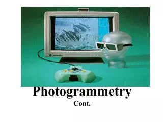
Stereoscopic Viewing • The theory of stereoscopic viewing and parallactic angles • Conditions for viewing a stereo model
Stereoscopic Plotters • To compile maps, take cross sections, and DEM • Three main components: • Projection system • Viewing system • Tracing system • Major Types: • Optical, mechanical. • Analytical, and softcopy systems: mathematical model, require computers
Orthophotos • Orthographic projection of photographs. • Uniform scale, no relief displacement. • Serve as maps • Produced by “rectifying “ the photographs, now mainly through “digital image processing”. • Advantage of orthophotomaps
Ground Control for Photogrammetry • Each model requires three horizontal and four vertical control points. • Control points are chosen before (marked) or after (usually) and measured by ground surveying • Using “Aerial Triangulation” control can be intensified on the photos • GPS may eliminate the need for ground control.