Download
1 / 22
220 likes | 326 Vues
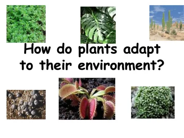
Introduction to Geographic Information Systems (GIS) for habitat analysis and home range estimation, including data collection methods, spatial data use, and habitat selection techniques. Explore different spatial data analysis methods and demonstration of habitat selection with real-world examples. Analyze habitat types in Kruger National Park and Klaserie Private Nature Reserve using GIS tools.

E N D
SCGIS Hands-on Workshop: Introduction to GIS for Habitat Analysis and Home Range Estimation Sadie Ryan, UC Berkeley
What is GIS? • Geographic Information System – object • often uses software • Geographic Information Science – discipline • Blueprint of a house – simplest GIS • Important qualities: • Overlay operations • Map equations in layers • Spatial relationships • point to point • Ancillary data • data associated with locations • Points vs. Grids
Jargon • Geospatial/Georeferenced – spatial data that has been located in reference to a standard coordinate system for the Earth (e.g. longitude, latitude) • Projection – system for transforming a known location on the non-flat earth to a flat plane – this is extremely important for manipulation of areas – a circle drawn on a lat/long earth is not a circle, unless you make it infinitely small at the equator.
How do we collect spatial data? • Radio collars
How do we collect spatial data? • Direct observation and paper maps • Museum records of collection locations
How do we collect spatial data? • GPS • Collars/patches that upload • Handheld records of indicators • – scat, tracks • Remotely sensed data • Satellite imagery • Vegetation, landcover, climate • Aerial photgraphy • Radar etc.
How do we use spatial data? • Home ranges • Habitat selection • Biogeography questions
Home range methods • Traditional: Minimum Convex Polygon (MCP) • Join the outermost points together • Useful for delineating overall area used – useful for conservation and reserve design with sparse data • You can use just 95% of points to define error, but no clear selection method for it • Assumes animals are using the whole area equally
Home range methods • Kernel methods • Smoothing of points, predicts likelihood of occurrence, even beyond points • Shows areas of higher and lower densities – useful to define key areas like feeding grounds • Similar assumption of whole area use; no holes • Alarming property of increasing as you add data • Harmonic Mean • Accents areas of higher density • Similar to Kernel methods • Local convex hull method – LoCoH • More data needs newer methods (GPS data is huge) • Good for ID of non-use areas • Allows for physical barriers to movement Adaptive Kernel Harmonic mean
1 Buffalo Herd, 4085 locations in 2000 MCP Minimum Convex Polygon
1 Buffalo Herd, 4085 locations in 2000 Kernel Method 95% 50% Default Smoothing H
1 Buffalo Herd, 4085 locations in 2000 k-NNCH Nearest Neighbor Convex Hull (Getz & Wilmers, 2004) k=5 neighbors shown
1 Buffalo Herd, 4085 locations in 2000 k-NNCH Nearest Neighbor Convex Hull (Getz & Wilmers, 2004) k=20 neighbors shown
Habitat Selection methods • Points on a map • Points are then associated with location-specific data • e.g. vegetation type, distance from water, slope, elevation, aspect, soil type etc. • Many different statistical analyses of results • Demo of simple proportional occurrence • Buffalo and vegetation type, distance to water
Study Site Kruger National Park Klaserie Private Nature Reserve 1993-2000 3 herds
Selected type 2 and 5, and not 3 and 8 • A. nigrescens and Grewia sp.: open woodland • Mixed Acacia sp.: shrubveld • Mixed woodland • C. apiculatum, S. birrea: open woodland; • C. apiculatum, S. caffra, Grewia sp.: short woodland • C. apiculatum, C. mollis, Grewia sp.: closed short woodland • C. apiculatum, C. mopane: woodland • C. mopane: woodland and shrubveld Habitat Selection: Vegetation Type
Hawth’s tools is a free extension: www.spatialecology.com