Download
1 / 28
280 likes | 297 Vues
This study by Dr. Edward Beukes delves into factors shaping travel demand in Cape Town, using data on population, employment, and income distribution. It explores issues like congestion, public transport inefficiencies, and the impact of land use on transportation sustainability. The research employs traditional 4-step modeling techniques to forecast land use impacts and transportation needs, aiming to optimize future housing and employment allocations to reduce transport costs and improve accessibility.

E N D
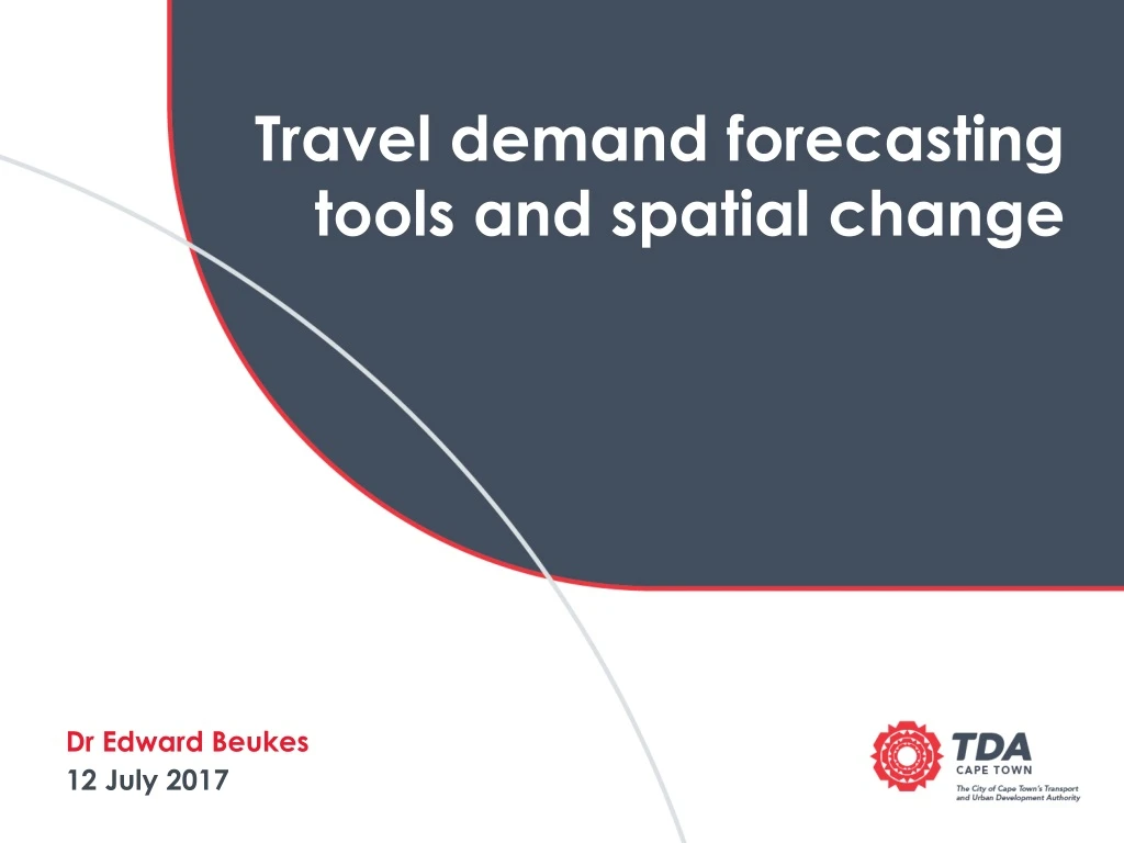
Travel demand forecasting tools and spatial change Dr Edward Beukes 12 July 2017
BACKGROUND Travel demand factors in Cape Town
Population Distribution Low Medium High Data source: Census 2011
Employment Distribution Low Medium High Data source: IPTN 2014
Household Income Distribution Low Medium High Data source: Census 2011
AMPP Trip origins Atlantis Paarl Parklands Durbanville CBD Stellenbosch Blackheath Sea Point Khayelitsha Strand Hout Bay Muizenberg Data source: CoCT IPTN 2014
AMPP Trip destinations Atlantis Paarl Parklands Durbanville CBD Stellenbosch Blackheath Sea Point Khayelitsha Strand Hout Bay Muizenberg Data source: CoCT IPTN 2014
Private Transport Volumes • Severe congestion on inbound routes, worsening towards the CBD. • As a result of: • Shift away from rail • Inefficiencies in public transport networks • Low densities and long travel distances • No private car disincentives FACT: The peak period on major routes has increased from 2hours to 4hours in the last 10 years Data source: CoCT IPTN 2014
Public Transport Volumes • FACT: • Spatial inefficiencies leads to long, costly travel distances, on public transport for the poorest residents in the city. • Tidal flow nature makes public transport expensive to operate. The highest demand for public transport is between the south-east and CBD areas +- 50km +- 36 km Rail Road-based Data source: CoCT IPTN 2014
Cape Town AMPP Main Mode Modal Split Data source: CoCT IPTN 2014
TRAVEL DEMAND MODELS LAND USE IMPACTS
TRADITIONAL 4-STEP MODELLING Land use activity models are a key input. Travel demand models are used to determine the best network response to current and forecasted land use patterns.
TRADITIONAL 4-STEP MODELLING Although it is widely accepted that transportation infrastructure plays a key role in location choices, this is not always accounted for in modelling practice. Land use response
LAND USE MODELLING TRANSPORTATION IMPACTS
LAND USE FORECASTING - CAPE TOWN • Cape Towns Integrated Public Transport Network (IPTN) planning process incorporated the following land use assumptions: • Development densities are influenced by the densification policies. • Densities are increased around public transport facilities. • New developments limited to greenfields sites. Data source: CoCT IPTN 2014
LAND USE FORECASTING - CAPE TOWN • Key unanswered questions: • What is the development potential of brownfields sites? • What role does land use mix play on public transport operations? • What is the impact of land use forecasting assumptions on transport sustainability? Data source: CoCT IPTN 2014
COMPREHENSIVE TOD LAND USE MODEL How to allocate future housing and employment to lower the cost of transport? • Cape Town is facing: • Increasing congestion • Increasing pollution • Increasing costs of public transport • Increasing levels of inaccessibility • Land use form at the metropolitan scale plays a huge role.
COMPREHENSIVE TOD LAND USE MODEL • New land use scenario generated to respond to these questions. • Purely theoretical investigation designed to extract policy insights OBJECTIVES
Heuristic (learning algorithm) optimisation Testing new input variants Repeat until optimised Define Goals and objectives to test performance e.g. minimise length of trip Randomly vary inputs of Stage 1 Generic inputs: Parameters e.g. base year scenario; PTOD Assessment and selection best from original and new variants Fun Fact: Heuristic: meaning to "find" or "discover" refers to experience-based techniques for problem solving, learning, and discovery that give solutions that are not guaranteed to be optimal. - Wikipedia
Only “unallocated” future land use growth part of optimisation • Calculate trip productions and attractions using IPTN regression coefficients • Calculate trip matrix using IPTN calibrated gravity model Households + jobs growth (20-years) Base year households + jobs Base year land use patterns kept constant
Development potential of brownfields sites Land Use • Office: 4 036m² • Parking Structure: 3 789m² Data source: J Petzer, CCT
23% improvement in the balance of trip productions and attractions in macrozones
Residential • Given the constraints placed on the algorithm: • Travel to and from outlying areas should be discouraged by ensuring a good mix of residential and employment opportunities. • As far as possible, future employment opportunities should be located in the Metro – South East. • As far as possible, future residential growth should be located in and around the CBD. Non-residential
Key policy highlights • TOD should be understood at multiple scales: • Normally, the focus is on local or corridor level planning. • However, spatial problems manifest at regional or metropolitan scales as well and these, arguably, are the major drivers of costs for public transport. • Intensification of land use in the wrong location can exacerbate spatially driven transport costs • While optimizing land use diversity and intensity are important, it is even more important to encourage the right mix of land use types in the right locations. • Increasing densities in the wrong locations will result in reduced transit sustainability. • Mixed land use developments are not necessarily the best way to drive transformation • Many areas are largely single use now. We seek a mixed outcome, and so we need to promote land uses that will balance the status quo.
THANK YOU Dr Edward Beukes PPO: System Analysis (021) 400 1073 edward.beukes@capetown.gov.za