Mapping
Mapping. Earth Science. Mapping. Maps – graphic representation of earth and its features. Maps are a model Models cannot show every detail Mercator (1569) Longitude lines are parallel Still used by sailors today. Mapping. Conic – wrap a cone around a globe


Mapping
E N D
Presentation Transcript
Mapping Earth Science
Mapping • Maps – graphic representation of earth and its features. • Maps are a model • Models cannot show every detail • Mercator (1569) • Longitude lines are parallel • Still used by sailors today
Mapping • Conic – wrap a cone around a globe • Used to make road and weather maps • Gnomic – looking down on the North Pole • Used by sailors travelling across the ocean • Robinson • Most widely used • Distance distorted around the edges of the map (polar regions)
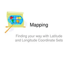
Mapping • Latitude – distance north or south of the equator (0 degrees) • Measured in degrees • Longitude – distance east or west of the prime meridian (0 degrees) • Measured in degrees • Prime meridian – line running north and south through Greenwich, England
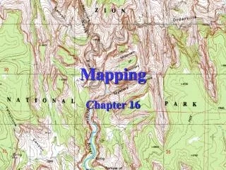
Topography • What is topography? • Study of Earth’s surface features (also other bodies in the solar system) • Who cares about topography? • Architects, Engineers, City planners, Geologists, Hikers, etc… • What is a topographic map? • Map that shows the elevation of Earth’s surface. • Contour lines – lines of equal height • Contour interval – distance in elevation between adjacent contour lines
Topography • Relief – difference in elevation • High relief: large differences in elevation • Example: mountain ranges • Contouring Rules: • Each contour line represents ONLY 1 elevation • Closely spaced contour lines indicate high relief (or a steep slope) • Lines that cross a valley are V-Shaped • If a stream runs through the valley, the V’s will point upstream
Colors on a topographic map • Contour lines • Water • Vegetation • Buildings • Roads • Index Contour • New features