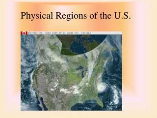
PHYSICAL REGIONS
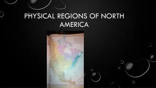
PHYSICAL REGIONS. TYPES OF PHYSICAL REGIONS. PHYSICAL REGIONS. Scientists isolate cells of the body and examine them with a microscope. In the same way, geographers divide the earth’s surface into smaller regions and study them closely.

PHYSICAL REGIONS
E N D
Presentation Transcript
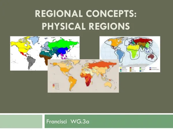
PHYSICAL REGIONS TYPES OF PHYSICAL REGIONS
PHYSICAL REGIONS • Scientists isolate cells of the body and examine them with a microscope. In the same way, geographers divide the earth’s surface into smaller regions and study them closely. • Both aim for a better understanding of something very complicated. • Ex. The world has many different surface features, mountains, plains, and lowlands.
PRECISE BOUNDARIES: WATERSHED REGIONS • A watershed is an area drained by a river system. • Each watershed is a physical region, separated from other watersheds by the higher land between them. • Ex. The Metro Toronto Region Conservation Authority (MTRCA) is responsible for the Humber, Don, and Rouge River watersheds.
TRANSISTION ZONES: NATURAL VEGETATION REGIONS • Most boundaries between physical regions are not as precise as a watershed. • Instead, there is a gradual change from one region to another that is hard to notice from observation. • Ex. The Rocky Mountains are separated from the Prairies by a zone of foothills. • In the same way, natural vegetation patterns change gradually through transition zones. • Ontario is so large that its climate changes a great deal from south to north.
WORDS TO REMEMBER • Broadleaf forest – forest of trees that lose their leaves as winter approaches • Coniferous forest – forest of trees with needles and that drop their seeds in cones. • Tundra – a region of low shrubs and other hardy plants suited to short summers and extreme winter cold.
TRANSITION ZONES • Large areas of northern Ontario feature coniferous forest. Conifers can survive much colder temperatures than broadleaf trees, such as maple and oak. • Between these two forest regions is a transitional zone with both species, called the mixed forest region. • North of the coniferous forests, there is another transitional zone, as forests gradually give way to tundra.
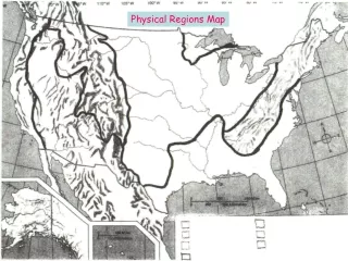
ECOZONE REGIONS • Physical regions can have sharp boundaries, or they can pass through gradual transition zones. • So far, you have seen only areas based on one type of feature, such as landforms or rivers or natural vegetation. • Drawing regional boundaries becomes harder when different environmental factors are combined. • The lines on maps look precise, but actually are quite imaginary.
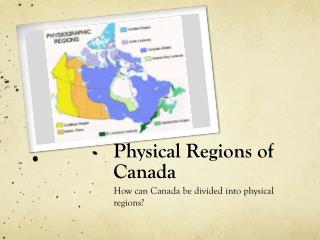
ECOZONES • In recent years, Canadian geographers have used combinations of physical characteristics to identify ecozones. • Because each ecozone has different environmental conditions, it supports a unique community of living things, including people. • Ecozones help focus the attention of conservationists on environmental issues and protection across all of Canada. • Ex. Parks Canada has almost completed creating at least one large national park in all 15 ecozones!!
THINKING IT OVER • How are boundaries between river systems and natural vegetation regions different? • In your own words, explain what Transition Zones are?