Image Interpretation
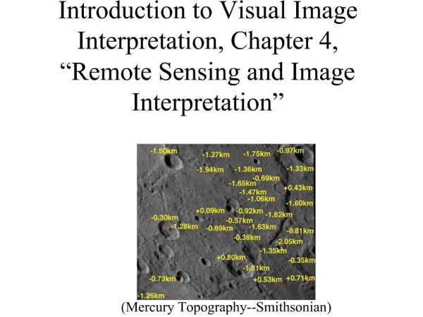
Image Interpretation. Web-based GIS workshop for teachers September 19, 2009. Where Do Images Come From?. Aircraft Aerial photos Satellites Satellite imagery. Courtesy of the California Coastal Records Project. Source: Google Earth. Clues to Interpret Imagery. Shape Size Pattern

Image Interpretation
E N D
Presentation Transcript
Image Interpretation Web-based GIS workshop for teachers September 19, 2009
Where Do Images Come From? • Aircraft • Aerial photos • Satellites • Satellite imagery Courtesy of the California Coastal Records Project Source: Google Earth
Clues to Interpret Imagery • Shape • Size • Pattern • Tone/Color • Shadow • Association
Shape Man-made features tend to have straight edges; natural features do not Which one of these is a river and which one is a canal?
Size The size of an object can help you determine what it is. Which is the school complex and which are the houses?
Pattern San Francisco Mountain drainage patterns Certain objects have distinct patterns. Man-made features tend to have regular patterns while natural features tend to have irregular patterns.
Tone/Color The brightness and variation of color can help you interpret the image. This image shows various types of agricultural crops.
Shadow San Francisco Shadows can provide information about an object’s height and shape
Association Sometimes you can identify an object by what is surrounding it. Which image is a mountain lake and which is a high desert lake? Which one is Lake Tahoe?
Spatial Resolution • How much detail you can see on the ground 1m spatial resolution (Digital Globe and others) 30 m spatial resolution (Landsat Thematic Mapper)