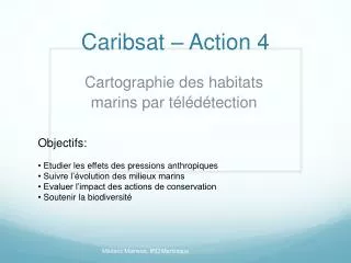
Caribsat – Action 4
Caribsat – Action 4. Objectifs: Etudier les effets des pressions anthropiques Suivre l’évolution des milieux marins Evaluer l’impact des actions de conservation Soutenir la biodiversité. Cartographie des habitats marins par télédétection. Caribsat – Action 4. Technologies, moyen:

Caribsat – Action 4
E N D
Presentation Transcript
Caribsat – Action 4 • Objectifs: • Etudier les effets des pressions anthropiques • Suivre l’évolution des milieux marins • Evaluer l’impact des actions de conservation • Soutenir la biodiversité Cartographie des habitats marins par télédétection MédéricMainson, IRD Martinique
Caribsat – Action 4 • Technologies, moyen: • Sonar • Plongées, drop cameras. • Satellites Camera and opticfiber frame Biocénoses (Sonar )
Caribsat – Action 4 • Images satellite: • Bandes spectrales • Résolution spatiale • Colonne d’eau • Recherche du meilleur compromis! Satellites caractéristiques Interaction eau / lumière
Caractérisation des fonds marins X Algal X Sand Coral X Algal Sand Coral
Collaboration • Observatoire marin du milieu martiniquais - Jean-Philippe Maréchal (Directeur) • Netherlands Antilles Coral Reef Initiative - Erik Meesters (PhD) - Paul Hoetjes (senior scientist) • Saba National Marine Park - Kai Wulf (Park manager) • Bonaire National Marine Park - Ramon de Leon (Park manager) Territoirespartenaires
Caribsat – Action 4 • Cartographie des habitats • marins par télédétection • Perspectives: • Acquisition d’une BD spectrale • Correction bathymétrique • Développement d’une méthode de traitement des images pour classification • Implémentation SIG • Vérification terrain finale