Download
1 / 45
450 likes | 464 Vues
This study explores the use of historic and pre-historic tsunami deposits to document tsunami hazard, produce probabilistic hazard maps, calculate recurrence intervals, understand tsunami behavior, and enhance tsunami runup modeling.

E N D
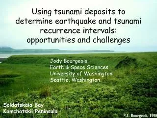
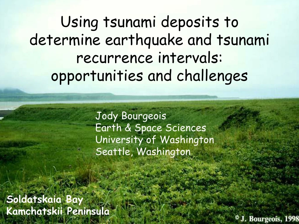
Using tsunami deposits todetermine earthquake and tsunami recurrence intervals: opportunities and challenges Jody Bourgeois Earth & Space Sciences University of Washington Seattle, Washington Soldatskaia Bay Kamchatskii Peninsula
We can use (historic and pre-historic) • deposits from tsunamis to: • Document tsunami hazard where unknown historically • and where prehistoric tsunamis are larger • Help produce probabilistic hazard maps • Calculate tsunami recurrence intervals • (typically centuries long) • Understand tsunami behavior • Calibrate, test and enhance tsunami runup modeling • Educate the public
We can use (historic and pre-historic) • deposits from tsunamis to: • Document tsunami hazard where unknown historically • and where prehistoric tsunamis are larger • Help produce probabilistic hazard maps • Calculate tsunami recurrence intervals • (typically centuries long) • Understand tsunami behavior • Calibrate, test and enhance tsunami runup modeling • Educate the public
intro QUESTIONS: WHERE? HOW BIG? HOW OFTEN?
intro QUESTIONS: WHERE? HOW BIG? HOW OFTEN? Problem: Historic records are short and tsunami recurrence intervals are long.
Oldest catalogued tsunami*: Mediterranean 4th c. B.C. Japan 7th century China, Central & South America 16th century Philippines, Indonesia 17th century Russian Far East & Alaska 18th century North America, New Zealand 19th century *classified as definite Lander and Gusiakov, 1997 and online catalogues
Copalis deposit mudflat deposits in years after tsunami tsunami deposit grassy field c. 300 years ago Copalis River bank, Washington State coast
Coring at Willapa Bay for the longer tsunami record MaryAnn coring
This and other cores tell us that large earthquakes and tsunamis occur on the Washington coast every 100-1000 years (average ~500 years) There are similar records for all of Cascadia and also the Gulf of Alaska Willapa longer record ~300 years ago Atwater, Carver, Clague, Darienzo, Gilpin, Hemphill-Haley, Hutchinson, Kelsey, Nelson, Peterson, Williams, Witter,… Turbidites: Goldfinger, Karlin ~3500 years ago
n. Japan-Kuril-Kamchatka subduction zone history (compiled by Brian Atwater) Hokkaido
n. Japan-Kuril-Kamchatka subduction zone history Hokkaido Tsunami deposits take the record back thousands of years
pre-20th centurytsunami depositsfound farther inland Nanayama, Atwater, Satake and several others
FIELD METHODS profiles excavations tsunami deposits tephra stratigraphy marine terraces
Hungry America “hungry America” model (USGS website)
Polar with plate boundaries after Fujita Mackey & others NAM EUR BER OKH PAC
Three backpackers How many and what kinds of plate boundaries? How does Kamchatka coastal neotectonics elucidate this problem?
LARGE Polar with plate boundaries NAM EUR NAM NAM PAC
LARGE Polar with plate boundaries NAM EUR BER OKH PAC
uplifted marine terraces uplift rates mm/yr (m/kyr) for last 500k years
KAMCHATKA LAND Mw 7.7 tsunamigenic earthquake
1969Ozernoitsunamimodel (Titov)(snapshots) one possible source configuration
KAMCHATKA LAND Mw 7.7 tsunamigenic earthquake
Stolbovaya field site peat & tephra Bering Sea coast bumpy tundra
Stolbovaya siteProfile 1, trench 104 1969 Ozernoi tsunami deposit -> 1964 Shiveluch volcanic ash -> paleo-tsunami deposit -> Shiveluch c. 1650 A.D. -> paleo-tsunami deposit -> Ksudach caldera c. 250 A.D. ->
one of 14 profiles at Stolbovaya total of >50 excavations
Tsunami frequencyper 1000 years Stolbovaya recurrence rate ~1/2 KSZ &greater than many other subduction zones
Mw 7.7 Ozernoi modeled by 1969 Ozernoi tsunami data and deposits indicates c. 3 m horizontal shortening Recurrence intervals for such tsunamis (from deposits) indicates shortening of c. 15 mm/yr over last 4000 yr
Hungry America “hungry America” model
LARGE Polar with plate boundaries Fujita, Mackey and others NAM EUR BER OKH PAC
Challenges Geochronology Correlation Statistics
Challenges Geochronology Correlation Statistics How many observations are sufficient? What is the preservation factor? (Signor-Lipps)
Challenges Going beyond tsunami recurrence to earthquake recurrence
Challenges Going beyond tsunami recurrence to earthquake recurrence and onward to paleotsunami and earthquake magnitudes
Challenges Paleogeography Paleobathymetry Paleotopography and onward to paleotsunami and earthquake magnitudes
Applications Paleoseismology Neotectonics Archaeology Coastal geomorphology Seismic & tsunami hazards Education & outreach