Download
1 / 31
320 likes | 467 Vues
This outline provides a comprehensive overview of Europe's geographic literacy, exploring its unique site and situation. It delves into distinguishing factors such as high per capita incomes, urban populations, and transportation infrastructure. The text discusses the effects of Europe's coastal geography, navigable rivers, and proximity to the Gulf Stream on its development. It highlights cultural geography, economic trends, and political landscapes, including the implications of EU membership and regionalism, while addressing population dynamics and challenges in Eastern Europe.

E N D
Europe: Outline • Basic Geographic Literacy • Its Site and Situation • Distinguishing factors • Cultural Geography • Economic Geography • Political Geography
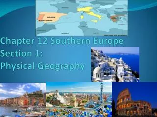
4 peninsulas Iberian Italian Balkan Scandinavian Baltic states UK vs. “England” Low Countries The problem of the Eastern border. Where does Europe end?
Introductory Distinguishing Factors • High per capita incomes/GNPs per capita • Richest in West and North • Urban Population (85% - 90%) • Again, especially in the Northwest • Dense concentration of transportation/communication infrastructures • Again, especially in the Northwest • Europe population is 450 Million (300 M in USA) • Population growth is steady or in even in decline (ZPG) • Aging societies, problems with large welfare burdens • Deeply secular societies • We’re relatively ethnically homogeneous, but now more diverse
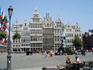
Europe’s Site • Comparatively small geographic area • Highly indented coastline of peninsulas, bays, seas, and inlets • Numerous large, navigable rivers • Access to water-based transport was/is superior in Europe • Therefore, the “friction of distance” was easier to overcome, especially in a pre-technological environment
Europe’s Situation • Proximity to Gulf Stream • Counters the effects of extreme northerly location • Except in areas characterized by their “continentality”