Download
1 / 20
200 likes | 208 Vues
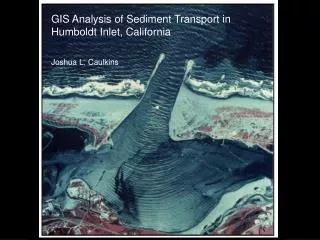
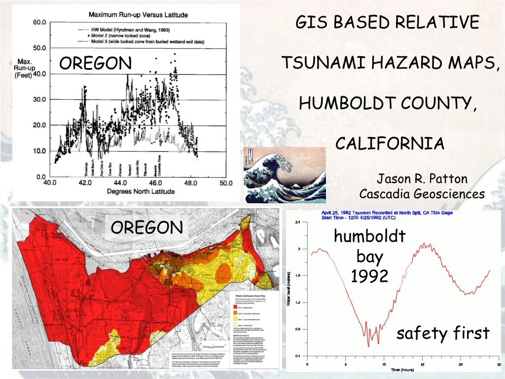
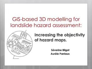
This study by Jason R. Patton from Cascadia Geosciences explores the relative tsunami hazard in Humboldt County, California and Oregon using GIS-based mapping techniques. It examines the safety concerns related to the 1992 Humboldt Bay earthquake and the Cascadia subduction zone, along with the local geology and data from the Hookton Slough coring campaign. The study provides detailed information on the hazard maps and their implications for the region.

E N D
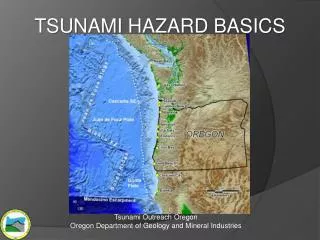
GIS BASED RELATIVE TSUNAMI HAZARD MAPS, HUMBOLDT COUNTY, CALIFORNIA OREGON Jason R. Patton Cascadia Geosciences OREGON humboldt bay 1992 safety first
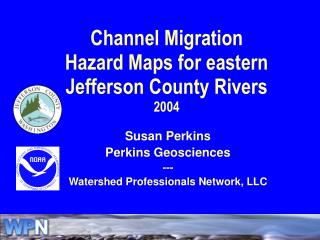
Cascadia subduction zone? DEM: Hagerud, 1999
Vibra core 47A Buried Soil 3 Vibra core 29 Buried Soil 4 cm/ inch cm/ inch up


![Making maps, many maps! [What is GIS?]](https://cdn1.slideserve.com/3592384/making-maps-many-maps-what-is-gis-dt.jpg)