Download
1 / 10
100 likes | 216 Vues
This document outlines the history and background of the Coastal and Ocean Modeling Testbed (COMT), directed by Becky Baltes. It highlights its unique inter-agency management approach, collaborative funding history since 2010, and the diverse teams involved in various scientific themes like coastal inundation, hypoxia, and cyberinfrastructure. Key goals include improving data access, fostering academia-operations relationships, and transitioning models to operational facilities. Future developments aim to enhance collaboration and refine transition strategies with federal entities.

E N D
US IOOS Coastal and Ocean Modeling Testbed Becky Baltes COMT Program Manager April 18, 2013
COMT History and Background • Unique Elements: • Intended to be inter-agency • Managed by a non-federal partner • Funding Background • 2010: Grant: $4M • 2011: Grant: $1M • Composition (SURA non-fed partner and lead for execution) • 5 teams, 64 scientists/analysts (Smaller for 2011 Grant) • 3 Science themes (Inundation, Shelf & Estuarine Hypoxia) • 1 Cyberinfrastructure team • 1 Technical Steering Group • Multi-sector engagement (federal, academia, industry) • 2012: None • 2013: Grant: TBD
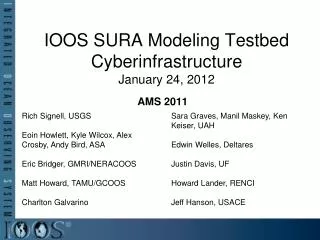
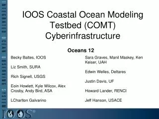
COMT Teams • Technical Advisory and Evaluation Group, Rich Signell, USGS • Provides insight, direction and focus to 4 separate teams trying to unite in the COMT • Coastal Inundation, Rick Luettich, UNC-CH • Gulf of Mexico and Gulf of Maine storms • Shelf Hypoxia, John Harding, NGI and Katja Fennel, UD • Hypoxia forecasting in Gulf of Mexico shelf environment • Estuarine Hypoxia, Carl Friedrichs, VIMS and MarjyFriedrichs, VIMS • Hypoxia forecasting in the Chesapeake Bay • Cyber infrastructure, EoinHowlett, ASA and Sarah Graves, UAH • Cyber tool development and testing, support to other teams 3/9
Original Testbed Goals • Build a common infrastructure for access, analysis and visualization of all ocean model data produced by the Federal Backbone and the IOOS Regions • Improve R2O and O2R by building stronger relationships between academia and operational centers through collaboration • Develop skill metrics and assess models in three different regions and dynamic regimes • Transition models, tools, toolkits and other capabilities to federal operational facilities
Surge, Waves and Inundation Results Gulf of Maine / Scituate Harbor - Extratropical Domain • Data Archiving HPC time • Model Enhancement Skill & Runtime analysis • Unstructured grid viz tool developed, used to access ~200 storm surge forecasts for Hurricane Isaac (2012)
Shelf Hypoxia Team Results • Improving Collaboration • Improving Data • Model Development • Supporting Operations Salinity maps for coastal ROMS, NOAA GOM, NRL IASNFS and NRL/FSU HCOM Gulf, http://pong.tamu.edu/~mma/sura/anims_models.php • Biogeochemical operating equations transitioned to FVCOM community modeling group in CSDL
Estuarine Hypoxia Results • Transitioning information to federal agencies • Model Comparison • Conducting sensitivity experiments • New, single term hypoxia model
Cyber Infrastructure Results • Interactive Model and Observation Explorer • Unstructured Grid Support • NCToolbox • Matlab as a Web Service • Skill Assessment Tools • Collaborative Web Site
Future • FY13: Complete Proposal Review and initiate new Cooperative Agreement • Improve transitions and align projects more thoroughly with federal liaisons and operational development planning • Cyberinfrastructure development for COMT and IOOS DMAC tailored to needs • Permanent Testbed infrastructure, data archive for models and obs Contact: Becky Baltes, COMT PM, becky.baltes@noaa.gov 301-427-2427 http://www.ioos.noaa.gov/modeling/testbed.html