Download
1 / 8
80 likes | 262 Vues
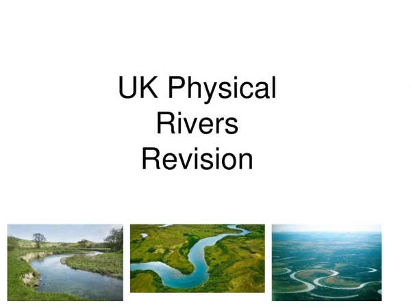
UK Physical Rivers Revision. Diagrams and photos. AQA state that the arrow must touch the landform. Using figure 1 sketch and label the main features (4 marks). With the help of figure 11 Describe how the shape of the valley changes downstream. (4 marks).

E N D
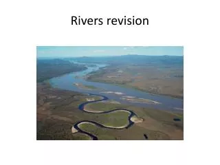
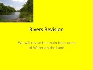
UK Physical Rivers Revision
Diagrams and photos AQA state that the arrow must touch the landform. Using figure 1 sketch and label the main features (4 marks)
With the help of figure 11 Describe how the shape of the valley changes downstream. (4 marks) With the help of means you must refer to the diagram/figure Use phrases such as ‘As can be seen in..’ ‘As shown in…’ ‘Figure 11 shows…’ The valley can change in height or relief and can also become wider.
Levees Explain Use the train! Firstly…in the lower course of the river the river loses energy so naturally deposits material Secondly...when the river floods the flood water carries the sediment over the banks and deposits it to the sides of the river Then finally a levee is created as the river builds up layers of sediment to form a natural flood defence What is it? How is it formed? Sequencing...
With the help of figure 12 evaluate the engineering strategies help to manage the risk of flooding. How to answer this question. For all 9 markers you need to introduce your answer. INTRODUCTION: First introduce the case study. The Boscastle flood in August 2004 caused extensive damage throughout the village. This led to a management plan to be put in place to reduce the risk of flooding. Remember the plan Look at 2 hard engineering strategies and 1 soft and explain how they reduce flooding in Boscastle. Start with the most successful... Evaluate. On the other hand...
Conclusion? Should this question have a conclusion? How could we conclude? All 9 markers require you to write a short conclusion!
We are going to try this question again to review our understanding of coastal management techniques. With the help of Figure 1, explain how hard and soft engineering help to manage the risk of coastal erosion in an area like Holderness. Let’s plan our answer.. Introduction: PEEL The most successful hard engineering strategy is.. PEEL Another strategy they used was…. PEEL the least successfulstrategy was a soft engineering strategy which was... Conclusion: Managed retreat Sand dune regeneration