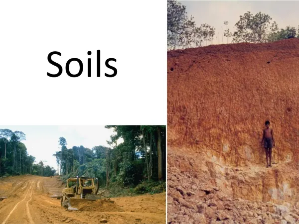
Soils Evaluation
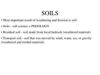
Soils Evaluation. What good is it?. teaches the practical application of the Soil Conservation Service soil classification system and related land management practices. Land Capability Classes in Georgia. Class I- They may be used for the production of cultivated crops with few limitations.

Soils Evaluation
E N D
Presentation Transcript
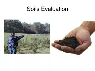
What good is it? • teaches the practical application of the Soil Conservation Service soil classification system and related land management practices.
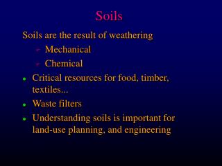
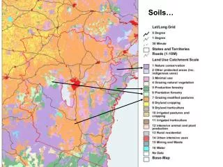
Land Capability Classes in Georgia • Class I- They may be used for the production of cultivated crops with few limitations. • Class II These soils may also be used for cultivated crops but they have some limitations that require moderate conservation practices. • Class III Class III land has severe limitations that require special conservation practices and may reduce the choice of crops. • Class IV These soils are used for cultivated crops but have very severe limitations that restrict the choice of plants and require special management.
Georgia Land Capabilities • Class VI These soils have such severe limitations that they are unsuited to cultivated crops and are restricted to pasture, woodland, or wildlife feed and cover.
Georgia Land Capabilities • Class VII These soils have very severe limitations and their use is restricted to forestry and wildlife.
FACTORS AFFECTING LAND CLASS • Slope • Topsoil thickness • Erosion • Topsoil texture • Permeability of the subsoil • Drainage • Effective depth
Slope • Slope refers to the steepness of the field. It is determined by the amount of fall in feet per 100 feet and is expressed in percent. If measured over a 100 foot distance, it is easy to convert the fall in feet to percent. Example: if the fall is 12 feet over a distance of 100 feet (12 divided by 100) the slope is 12%
Some Methods of determining slope • Clipboard & Pencil • Hand & Arm
SOIL FACTORS Best Land Class For Slope (North Georgia)
SOIL FACTORS Best Land Class For Slope (South Georgia)
Topsoil thickness • 1. Extremely thick -- over 40 inches • 2. Very thick -- 20 to 40 inches • 3. Thick -- 10 to 20 inches • 4. Moderate -- 5 to 10 inches • 5. Thin -- less than 5 inches
Erosion • 1. None to slight - less than 25% eroded • 2. Moderate - 25 to 75% eroded • 3. Severe - Over 75% eroded
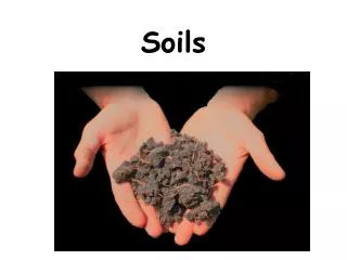
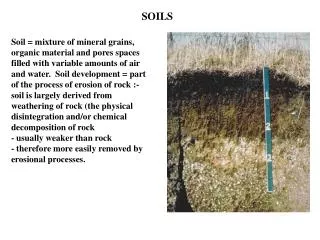
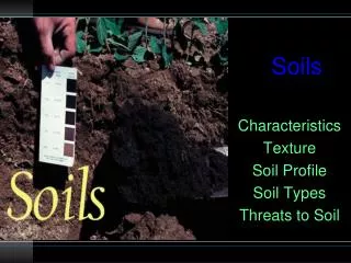
Topsoil Texture • At the contest, students will determine texture by feeling the topsoil.
Topsoil Textures • - A fine textured soil is smooth and sticky when wet. The particles feel as fine as flour. When balled in the palm of your hand, it holds its shape and shows finger marks. A long ribbon of soil can be formed by rubbing the soil between the thumb and fore finger.
Topsoil Textures • Medium - A medium textured soil is a mixture of sand, silt and clay particles. It is between fine and coarse. The ball will show some finger marks and hold its shape. A short thick ribbon can be formed.
Topsoil Textures • Coarse - Coarse textured soils are made up of mostly sand particles. Sand feels gritty and particles are large enough to be easily seen. The ball breaks in your hand and almost no ribbon can be formed.
Permeability of the Subsoil • Permeability is the ability of air and water to move through the subsoil. Permeable soils (rapid) are often described as "loose" and impermeable soils (slow) as "tight."
Permeability • 1. Rapid -- Due to a coarse texture greater than 20 inches. • 2. Moderate -- Subsoils of fine or medium texture; well defined nut-like structure; visible pores of varying size. • 3. Slow -- Subsoils of fine texture; sticky or plastic clay subsoils; few pores visible.
Drainage • Drainage refers to surface and internal drainage. As a general rule, the more quickly soil can be tilled safely following a good rainfall, the better the drainage.
Drainage • 1. Excessively drained -- Coarse textured, sandy material that continues to depths of more than 40 inches. • 2. Well-drained -- No gray mottles found in top 30 inches of profile. • 3. Moderately well-drained -- No gray mottles found in top 20 inches of profile
Drainage • 4. Somewhat poorly drained -- No gray mottles found in top 10 inches of profile. • 5. Poorly drained -- Gray matrix or gray mottles found in top 10 inches of profile. Soil may be gray completely to the surface. • 6. Very wet -- Surface water remains for extended periods.
Effective Depth • Effective Depth is that depth to which plant roots can easily penetrate.
Effective Depth • 1. Deep -- Over 40 inches • 2. Moderate -- 20 to 40 inches • 3. Shallow -- 10 to 20 inches • 4. Very Shallow -- Less than 10 inches