Download
1 / 36
460 likes | 1.22k Vues
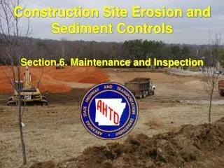
Construction Site Erosion and Sediment Controls. Section 3. Hydrology and Soil Erosion. Reason for Fundamentals. The erosion and sediment control plan included in the SWPPP is developed before the site is disturbed based on the best available information

E N D
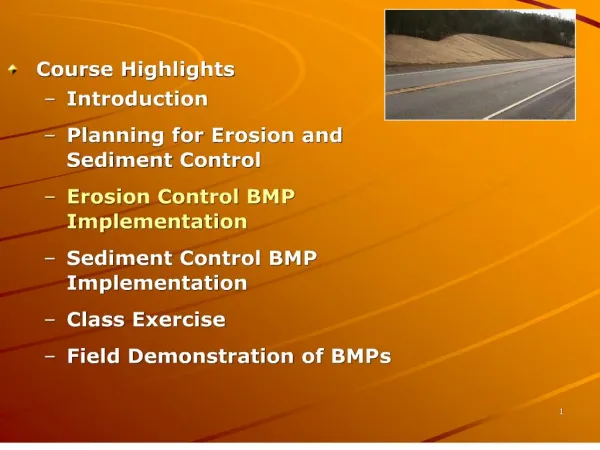
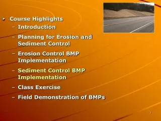
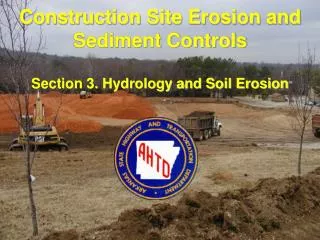
Construction Site Erosion and Sediment Controls Section 3. Hydrology and Soil Erosion
Reason for Fundamentals • The erosion and sediment control plan included in the SWPPP is developed before the site is disturbed based on the best available information • Construction site erosion and sediment control requires flexibility during construction projects; modifications are often necessary
Reason for Fundamentals • Inspectors must have hydrology and soil erosion knowledge to critically examine erosion and sediment controls • Basic hydrology and soil erosion knowledge is also required to identify erosion prone areas and to know critical erosion time periods during the year
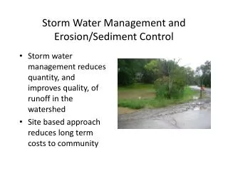
Why is Hydrology Important? • Know drainage patterns and receiving water for the site • Land development disturbs the natural hydrologic cycle • Rainfall characteristics influence soil erosion • Runoff controls the rate of erosion from exposed soils
Land Development Land cover is changed from undisturbed soils and vegetation to compacted soils and impervious surfaces
Land Development Land development significantly alters the hydrologic cycle
Land Development Runoff volume and flow rate increases and time of concentration decreases
Runoff Runoff generation is dependent on many factors including: • Precipitation intensity, volume, and spatial and temporal distribution • Watershed area and topography • Ground cover and moisture conditions • Soil permeability characteristics
Time of Concentration Stream/Pipe Flow Overland Flow Shallow Concentrated Flow Most Remote Point Hydraulically Water Shed Outlet
Time of Concentration Outlet Outlet Hydraulically most remote point Water Shed tc for top watershed is much longer than tc for the bottom watershed Hydraulically most remote point
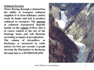
Soil Erosion • Erosion is a natural process whereby soil particles are displaced and transported by wind, rain, or runoff • Erosion includes weathering, dissolution, abrasion, corrosion, and transportation, by which material is removed from the Earth’s surface
Soil Erosion Soil erosion occurs in three phases: • Particle detachment • Sediment transport • Sediment deposition
Wind-Generated Soil Erosion Three types of wind-generated erosion: • Saltation • Suspension • Surface creep Although wind-generated erosion is a major concern, we are focusing this course on water-generated erosion
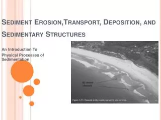
Water-Generated Soil Erosion Erosion due to water action occurs in one of the following forms: • Splash erosion • Sheet-flow erosion • Rill erosion • Gully erosion • Stream erosion
Types of Erosion (Soil Conservation Service)
Splash Erosion The dislodging of soil particles by raindrop impact is a primary cause of surface erosion
Raindrop Impact (Seafriends 2001)
Sheet-flow and Rill Erosion The uniform removal of soil particles by sheet-flow runoff Rills are long, narrow depressions or incisions caused by increased velocities
Rill Erosion on Slopes Unprotected slopes will develop rills, which will eventually form gullies
Gully Erosion Gullies are larger and deeper depressions caused by the higher velocities associated with concentrated flows
Gully Erosion Gullies are very difficult to stop once they are started
Gully Erosion Long steep slopes are the primary place for rills and gullies to develop Gullies can remove up to 10 times larger volumes of soil per unit area than sheet flows and rills
Stream Erosion Erosion of soil by increased stream flows
Soil Erosion Soil erosion is influenced by five primary factors: • Rainfall characteristics • Soil erodibility • Flow path length and slope • Land cover • Control measures
Rainfall Characteristics Characteristics of the region’s climate and rainfall have a significant influence over soil erosion: • Rainfall patterns • Rainfall intensity • Droplet size
Soil Erodibility The tendency of soil particles to become detached from the soil matrix is dependent on: • The soil texture, organic matter content, and structure • Soil permeability • Electrostatic charges
Flow Path Length and Slope • The longer the flow path the more potential for soil erosion • The slope of the flow path has a significant influence over soil erosion: higher slopes increases runoff and erosion potential • High slopes and long flow paths should be reduced by creating contour diversions and benches
Land Cover • Soil erosion rates are related to the type and amount of temporary and permanent cover • Land covers stabilize the soil matrix, reduce runoff velocities and volumes, and reduce the impact of rainfall droplets • Appropriate land cover should be established on disturbed areas as soon as possible after construction is completed in the area
Control Measures • Control measures are activities performed on the disturbed land surface to mitigate the erosive forces of rainfall and runoff • Control measures can be directed toward land cover or can influence the flow path length and steepness
Erosion Control Goals Soil Erosion Rates: • Natural geologic rate (0.2 tons/ac/yr) • Managed forest (0.5 tons/ac/yr) • Agricultural lands (1.5 to 20 tons/ac/yr) • Construction activities (150 to 200 tons/ac/yr) Goal - reduce erosion on construction sites to 1.5 tons/ac/yr
Summary • Keep the principles of hydrology and soil erosion in mind as you inspect erosion and sediment controls • Verify that the controls are compatible with site hydrology and soil types