Download
1 / 6
60 likes | 137 Vues
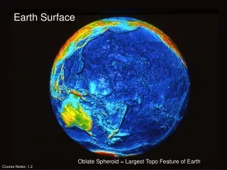
Explore advancements in optical imagery technology including 3D ground motion extraction, topography mapping, and surface tracking. Developments in seismic wave imaging, water table detection, and high-resolution DSM extraction are showcased. Learn about innovative projects revolutionizing Earth surface observation.

E N D
The Advanced Earth Surface Observation Project (AESOP): New Developments for Optical Imagery SébastienLeprince, Francois Ayoub, Jiao Lin, Jean-Philippe Avouac, Dave Redding, and EssamHeggy November 12, 2012
New Technology Developments: • Extraction of 3D ground motion using multi-angle imagery, • Topography extraction using multi-angle imagery, • 3D tracking of smooth surface from point clouds (LiDAR) - see B. Conejo’s poster, • Time-series of sand flux on Mars - see F. Ayoub’s poster, • Integration of processing tools with parallel implementation, • Feasibility study of a geostationary optical seismometer. Development at JPL with Dave Redding team, • Sounding the water table and fossil aquifers in Kuwait using airborne Ground Penetrating Radar - see E. Heggy’sposter.
Multiple Disparity Maps can be Triangulated to Retrieve 3D displacement fields El-Mayor Cucapah, 3D displacement field using Worldview LiDAR validation: see poster!
Improvement of Correlation Algorithms for High-Resolution DSM Extraction: Urban topography validated with LiDAR LiDAR DSM, 1m GSD Worldview DSM generated with COSI-Corr 1m GSD Validation profiles: Work with Jiao Lin, with parallel implementation and web interface, on-going work.
Imaging Seismic Waves from Geo: The GSI Concept • <2 cm/s resolution on 200 m grid • 1-2 Hz frame rate • Up to 300 km2FoV • Telescope is pointed in response to events detected on the ground • Stationed in GEO over the Pacific coast of the Americas, could observe 1 to 4 Mv> 6 earthquakes per year 3.75m 6 Segment 3.6m—On Axis 1 Monolithic Segment Simulation of GSI Imaging and Data Processing • 5.2-5.7 Gpix. • FPA Width: 72k-75k pix. • GSD ~4 m Scene True dy cm Estimated dy The Great California Shakeout • Surface deformation movies reveal rupture propagation, enabling correlation of ground motion to subsurface geology • GSI data would revolutionize earthquake seismology For 10 year missions 0 km 8km 16km 8 km 16km 8km 16km For 10 year missions Slide courtesy of D. Redding, NASA/JPL