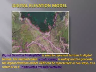
DIGITAL ELEVATION MAPS
This project, developed during the CS480 Fall 2010 course by Michael Carroll, Asma Mannan, and Sagar Mutha, showcases a sophisticated approach to digital elevation mapping using C++, OpenGL, and GLEW on Windows platforms. The team implemented features such as a dynamic level of detail, multitexturing, and proper visual scaling of elevation data sourced from USGS NED. Key components included a terrain parser, geometry generation, and realistic camera movement. The project emphasizes compelling data representation and realistic lighting simulations based on user inputs of latitude and longitude.


DIGITAL ELEVATION MAPS
E N D
Presentation Transcript
DIGITAL ELEVATION MAPS • FALL 2010 • CS480 • Michael Carroll • Asma Mannan • Sagar Mutha
CONSTRUCTION • Platform: C++ / OpenGL and GLEW / Windoze • SVN on google code
REQUIREMENTS • Compelling Data • USGS NED • Global Mapper (Converter) • Multitexturing • Movement
PLATFORM & PARTITION • Michael – NED Parser & Converter, Geometry Generation • Asma – Multitexturing • Sagar – Camera Movement
DIFFICULTY • Proper Visual Scaling • Each square degree sized differently • Proper Walking • Downsampling Data Reasonably • Texture mapping
EXTENSIONS • More textures, normal generation • Textures vary with normals, not just elevation • Dynamic LOD / Geometry + Textures • Lat / Long user input • Harsher Shading and Sunlight Simulation/ Date Time