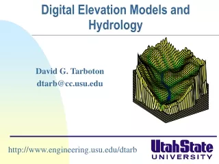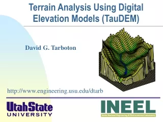
Digital elevation models
Digital elevation models. Day 2: digital elevation models. Principles Derived variables Visibility analysis Accessibility models Catchment modelling 3D visualisation. Principles.


Digital elevation models
E N D
Presentation Transcript
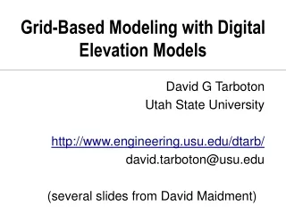
Day 2: digital elevation models • Principles • Derived variables • Visibility analysis • Accessibility models • Catchment modelling • 3D visualisation
Principles • In high relief areas variables such as altitude, aspect and slope strongly influence both human and physical environments • a 3D data model is therefore essential • use a Digital Terrain Model (DTM) • derive information on: • height (altitude), aspect and slope (gradient) • watersheds (catchments) • solar radiation and hill shading
Principles • Many applications of terrain models • Visualisation: • hillshading and orthographic views • animation and photorealism • others: • access modelling • visibility analysis and landscape evaluation • hazard mapping • hydrological modelling
Principles • Six main data sources • ground survey using traditional methods of theodolite or EDM survey • maps via digitising contours • satellite data via stereoscopic techniques • aerial photographs via stereoscopic techniques • LIDAR (LIght Detection And Ranging) and SAR (Synthetic Aperture Radar) • GPS data
Principles Comparison of DEM sources Landform Panorama Landform Profile
Principles • LiDAR data
Principles • More LiDAR data...
Derived variables height aspect slope hillshading plan curvature Feature extraction
Visibility analysis • Use of DTM to calculate “viewshed” of particular point • where can point X be seen from on surface Y? • what part of surface Y can be seen from point X? • Multiple point viewsheds combined to calculate viewshed of line and area features • where and part of feature X be seen on surface Y? • what part of surface Y can be seen from which point on feature X?
not visible visible Visibility analysis • Uses line of sight from observer point to terrain surface to calculate intervisibility matrix: visible/non-visible parts • Use of observation point and terrain offsets Offset a Offset b v nv v nv v nv without offset b with offset b
Visibility analysis • Many different uses… • visual impact analysis and landscape evaluation • siting and modelling of observation towers and cellular communications masts • military applications • virtual GIS
Wind farm impact assessment Visibility analysis
Cell phone coverage, Vodafone Visibility analysis
Accessibility models • Terrain is a vital element for realistic access models • flat, boundless plains of Weberian industrial location analysis just don’t exist! • need to take terrain-based costs into account • Slope as push/pull factor • Barrier features • additional layer in GIS access models
Accessibility models • Isotropic distance models • don’t take cost factors into account • e.g. eucdistance in GRID or buffer in Arc/Info • Anisotropic distance models • take cost factors into account • e.g. costdistance in GRID
Accessibility models Buffer zones Distance surface Anisotropic surface Residuals
Accessibility models • Off-road accessibility is function of: • distance from nearest road • slope relative to direction of travel • ground conditions (trafficability) • barrier features (rivers, lakes, cliffs, etc.) • Combine within anisotropic access model as cost or friction surfaces
Accessibility models • Combined model integrating: • Dijkstra’s Shortest Path Algorithm • calculate shortest path from origin to any destination based on relative costs of movement through set of cells between origin and destination • Naismith’s Rule (1892) • “an hour for every three miles on the map, with an additional hour for every 2,000 feet of ascent” • -10 minutes/300 m descent for slopes 5°>12°; +10 minutes/300 m descent for slopes >12°
Accessibility models With mountain bike use along track from Linn of Dee Without mountain bike use along track from Linn of Dee
Catchment modelling • The “Golden Rule” of hydrology..... • “water flows down hill” • under force of gravity • BUT, may move up through system via: • capillary action in soil • hydraulic pressure in groundwater aquifers • evapotranspiration
Catchment modelling • Surface shape determines water behaviour • characterise surface using DTM • slope • aspect • (altitude) • delineate drainage system: • catchment boundary (watershed) • sub-catchments • stream network • quantify catchment variables • soil moisture, etc. • flow times... catchment response
Catchment modelling GEOG5060 - GIS and Environment
Practical exercise • Hands-on Exercise #4 • Terrain analysis in ArcMap