Public Land Surveying System
120 likes | 305 Vues
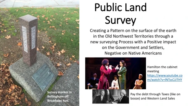
Public Land Surveying System. PLSS. Metes and Bounds. A way of dividing up land based on physical features in the environment, such as trees, streams, boulders, etc. Can cause disputes between neighbors and weirdly shaped land boundaries. PLSS. Dividing up land based on a organized system

Public Land Surveying System
E N D
Presentation Transcript
Metes and Bounds • A way of dividing up land based on physical features in the environment, such as trees, streams, boulders, etc. • Can cause disputes between neighbors and weirdly shaped land boundaries
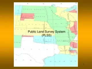
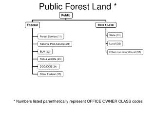
PLSS • Dividing up land based on a organized system • A base line and a meridian line (remember from western hemisphere geography) is how the state is sectioned off laid out in the Northwest Ordiance
Land Ownership/House Deeds • "Lying and being in Township 4 North; Range 7 West; and being the northwest quadrant of the southwest quadrant of said section,“ • Exact descriptions of ownership of land